Loading...
Searching...
No Matches
◆ encode_coords()
|
static |
Definition at line 161 of file geobuf.c.
163{
164 int i, c;
165 POINT4D pt;
166 int64_t sum[] = { 0, 0, 0, 0 };
167
168 if (offset == 0)
170 else
171 coords = repalloc(coords, sizeof (int64_t) *
172 ((len * ctx->dimensions) + offset));
173
174 c = offset;
175 for (i = 0; i < len; i++) {
176 getPoint4d_p(pa, i, &pt);
183 }
184 return coords;
185}
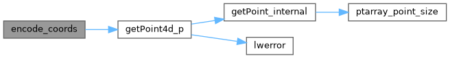
int getPoint4d_p(const POINTARRAY *pa, uint32_t n, POINT4D *point)
Definition lwgeom_api.c:125
Definition liblwgeom.h:413
References geobuf_agg_context::dimensions, geobuf_agg_context::e, getPoint4d_p(), POINT4D::m, POINT4D::x, POINT4D::y, and POINT4D::z.
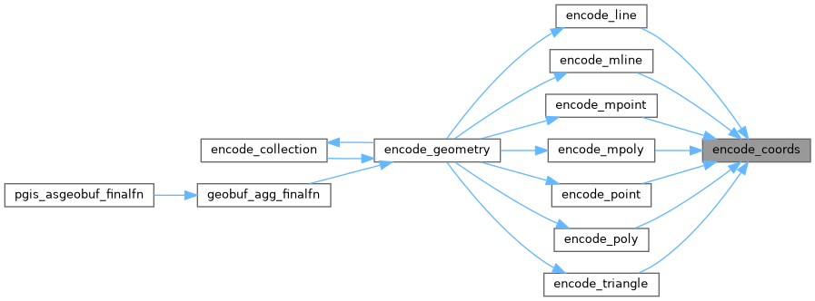
Referenced by encode_line(), encode_mline(), encode_mpoint(), encode_mpoly(), encode_point(), encode_poly(), and encode_triangle().
Here is the call graph for this function:
Here is the caller graph for this function: