Loading...
Searching...
No Matches
◆ ptarray_to_GEOSCoordSeq()
| GEOSCoordSeq ptarray_to_GEOSCoordSeq | ( | const POINTARRAY * | pa, |
| uint8_t | fix_ring | ||
| ) |
Definition at line 275 of file liblwgeom/lwgeom_geos.c.
276{
277 uint32_t dims = 2;
278 uint32_t i;
279 int append_points = 0;
282 GEOSCoordSeq sq;
283
285
286 if (fix_ring)
287 {
289 {
291 return NULL;
292 }
293 else
294 {
297 }
298 }
299
300#if POSTGIS_GEOS_VERSION >= 31000
301 if (append_points == 0) {
302 sq = GEOSCoordSeq_copyFromBuffer((const double*) pa->serialized_pointlist, pa->npoints, FLAGS_GET_Z(pa->flags), FLAGS_GET_M(pa->flags));
303 if (!sq)
304 {
305 GEOS_FAIL();
306 }
307 return sq;
308 }
309#endif
311 {
312 GEOS_FAIL();
313 }
314
316 {
317 if (dims == 3)
318 {
319 p3d = getPoint3d_cp(pa, i);
322 }
323 else
324 {
325 p2d = getPoint2d_cp(pa, i);
327 }
328
329 if (dims == 3)
331 else
333
334 }
335
336 if (append_points)
337 {
338 if (dims == 3)
339 {
340 p3d = getPoint3d_cp(pa, 0);
342 }
343 else
344 p2d = getPoint2d_cp(pa, 0);
346 {
347
349
351 }
352 }
353
354 return sq;
355
356}
void void lwerror(const char *fmt,...) __attribute__((format(printf
Write a notice out to the error handler.
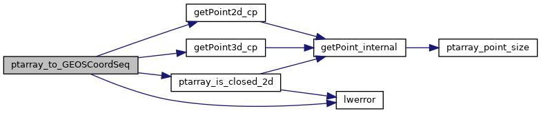
static const POINT3D * getPoint3d_cp(const POINTARRAY *pa, uint32_t n)
Returns a POINT3D pointer into the POINTARRAY serialized_ptlist, suitable for reading from.
Definition lwinline.h:109
static const POINT2D * getPoint2d_cp(const POINTARRAY *pa, uint32_t n)
Returns a POINT2D pointer into the POINTARRAY serialized_ptlist, suitable for reading from.
Definition lwinline.h:97
Definition liblwgeom.h:389
Definition liblwgeom.h:401
References POINTARRAY::flags, FLAGS_GET_M, FLAGS_GET_Z, GEOS_FAIL, getPoint2d_cp(), getPoint3d_cp(), LWDEBUGF, lwerror(), POINTARRAY::npoints, ptarray_is_closed_2d(), POINTARRAY::serialized_pointlist, POINT2D::x, POINT3D::x, POINT2D::y, POINT3D::y, and POINT3D::z.
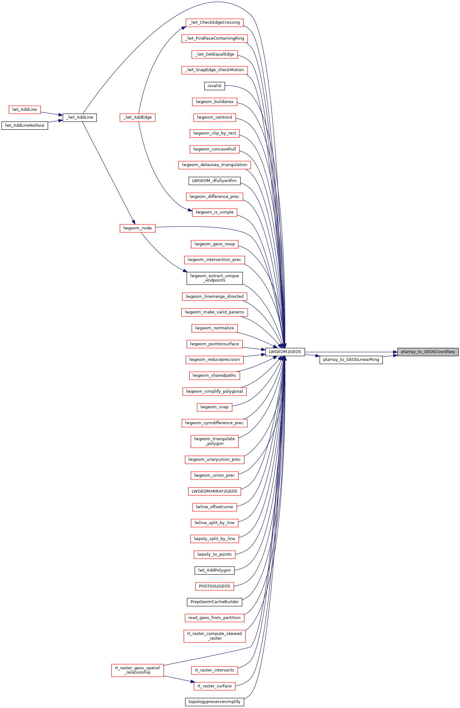
Referenced by LWGEOM2GEOS(), and ptarray_to_GEOSLinearRing().
Here is the call graph for this function:
Here is the caller graph for this function: