Loading...
Searching...
No Matches
◆ parse_geohash()
|
static |
Definition at line 47 of file lwgeom_in_geohash.c.
48{
49 GBOX *box = NULL;
50 double lat[2], lon[2];
51
52 POSTGIS_DEBUG(2, "parse_geohash called.");
53
54 if (NULL == geohash)
55 {
57 }
58
60
61 POSTGIS_DEBUGF(2, "ST_Box2dFromGeoHash sw: %.20f, %.20f", lon[0], lat[0]);
62 POSTGIS_DEBUGF(2, "ST_Box2dFromGeoHash ne: %.20f, %.20f", lon[1], lat[1]);
63
65
66 box->xmin = lon[0];
67 box->ymin = lat[0];
68
69 box->xmax = lon[1];
70 box->ymax = lat[1];
71
72 POSTGIS_DEBUG(2, "parse_geohash finished.");
73 return box;
74}
GBOX * gbox_new(lwflags_t flags)
Create a new gbox with the dimensionality indicated by the flags.
Definition gbox.c:32
lwflags_t lwflags(int hasz, int hasm, int geodetic)
Construct a new flags bitmask.
Definition lwutil.c:477
void decode_geohash_bbox(char *geohash, double *lat, double *lon, int precision)
Definition lwalgorithm.c:736
static void geohash_lwpgerror(char *msg, __attribute__((__unused__)) int error_code)
Definition lwgeom_in_geohash.c:39
Definition liblwgeom.h:352
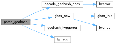
References decode_geohash_bbox(), gbox_new(), geohash_lwpgerror(), lwflags(), precision, GBOX::xmax, GBOX::xmin, GBOX::ymax, and GBOX::ymin.
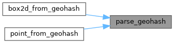
Referenced by box2d_from_geohash(), and point_from_geohash().
Here is the call graph for this function:
Here is the caller graph for this function: