Loading...
Searching...
No Matches
◆ gserialized_geography_from_lwgeom()
| GSERIALIZED * gserialized_geography_from_lwgeom | ( | LWGEOM * | lwgeom, |
| int32 | geog_typmod | ||
| ) |
Definition at line 89 of file geography_inout.c.
90{
91 GSERIALIZED *g_ser = NULL;
92
93 /* Set geodetic flag */
95
96 /* Check that this is a type we can handle */
98
99 /* Force the geometry to have valid geodetic coordinate range. */
100 lwgeom_nudge_geodetic(lwgeom);
102 {
103 ereport(NOTICE, (
104 errmsg_internal("Coordinate values were coerced into range [-180 -90, 180 90] for GEOGRAPHY" ))
105 );
106 }
107
108 /* Force default SRID to the default */
111
112 /*
113 ** Serialize our lwgeom and set the geodetic flag so subsequent
114 ** functions do the right thing.
115 */
116 g_ser = geography_serialize(lwgeom);
117
118 /* Check for typmod agreement */
119 if ( geog_typmod >= 0 )
120 {
121 g_ser = postgis_valid_typmod(g_ser, geog_typmod);
122 POSTGIS_DEBUG(3, "typmod and geometry were consistent");
123 }
124 else
125 {
126 POSTGIS_DEBUG(3, "typmod was -1");
127 }
128
129 return g_ser;
130}
GSERIALIZED * postgis_valid_typmod(GSERIALIZED *gser, int32_t typmod)
Check the consistency of the metadata we want to enforce in the typmod: srid, type and dimensionality...
Definition gserialized_typmod.c:110
void geography_valid_type(uint8_t type)
The geography type only support POINT, LINESTRING, POLYGON, MULTI* variants of same,...
Definition geography_inout.c:70
void lwgeom_set_geodetic(LWGEOM *geom, int value)
Set the FLAGS geodetic bit on geometry an all sub-geometries and pointlists.
Definition lwgeom.c:992
int lwgeom_force_geodetic(LWGEOM *geom)
Force coordinates of LWGEOM into geodetic range (-180, -90, 180, 90)
Definition lwgeodetic.c:3070
int lwgeom_nudge_geodetic(LWGEOM *geom)
Gently move coordinates of LWGEOM if they are close enough into geodetic range.
Definition lwgeodetic.c:3252
Definition liblwgeom.h:443
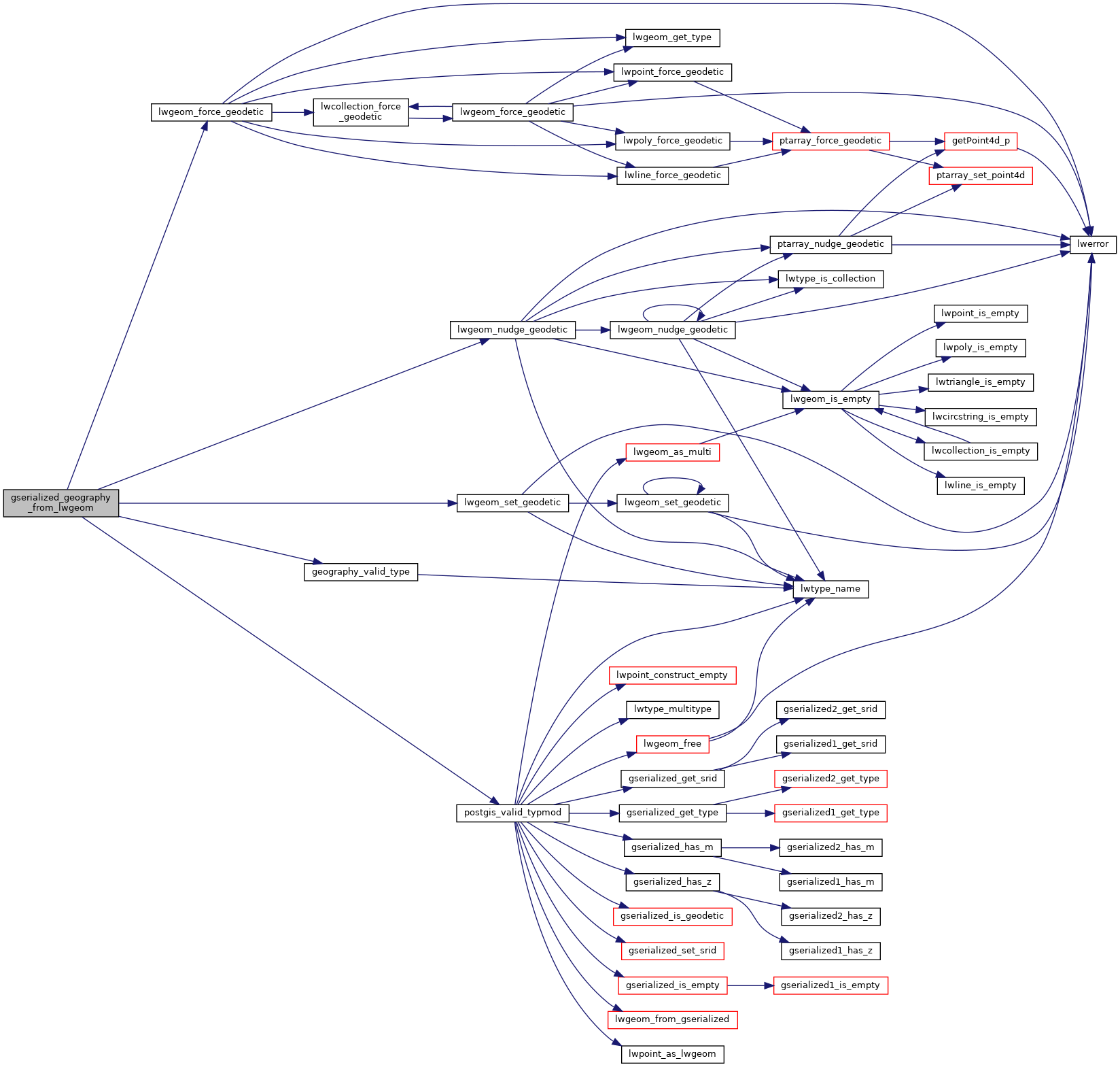
References geography_valid_type(), LW_TRUE, lwgeom_force_geodetic(), lwgeom_nudge_geodetic(), lwgeom_set_geodetic(), postgis_valid_typmod(), LWGEOM::srid, SRID_DEFAULT, and LWGEOM::type.
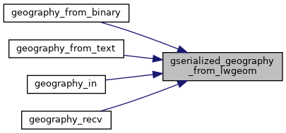
Referenced by geography_from_binary(), geography_from_text(), geography_in(), and geography_recv().
Here is the call graph for this function:
Here is the caller graph for this function: