Loading...
Searching...
No Matches
◆ RASTER_coveredby()
| Datum RASTER_coveredby | ( | PG_FUNCTION_ARGS | ) |
Definition at line 792 of file rtpg_spatial_relationship.c.
793{
794 const uint32_t set_count = 2;
795 rt_pgraster *pgrast[2];
796 int pgrastpos[2] = {-1, -1};
798 uint32_t bandindex[2] = {0};
799 uint32_t hasbandindex[2] = {0};
800
801 uint32_t i;
802 uint32_t j;
803 uint32_t k;
804 uint32_t numBands;
805 int rtn;
807
808 for (i = 0, j = 0; i < set_count; i++) {
809 /* pgrast is null, return null */
810 if (PG_ARGISNULL(j)) {
811 for (k = 0; k < i; k++) {
812 rt_raster_destroy(rast[k]);
813 PG_FREE_IF_COPY(pgrast[k], pgrastpos[k]);
814 }
815 PG_RETURN_NULL();
816 }
817 pgrast[i] = (rt_pgraster *) PG_DETOAST_DATUM(PG_GETARG_DATUM(j));
818 pgrastpos[i] = j;
819 j++;
820
821 /* raster */
823 if (!rast[i]) {
824 for (k = 0; k <= i; k++) {
825 if (k < i)
826 rt_raster_destroy(rast[k]);
827 PG_FREE_IF_COPY(pgrast[k], pgrastpos[k]);
828 }
829 elog(ERROR, "RASTER_coveredby: Could not deserialize the %s raster", i < 1 ? "first" : "second");
830 PG_RETURN_NULL();
831 }
832
833 /* numbands */
834 numBands = rt_raster_get_num_bands(rast[i]);
835 if (numBands < 1) {
836 elog(NOTICE, "The %s raster provided has no bands", i < 1 ? "first" : "second");
837 if (i > 0) i++;
838 for (k = 0; k < i; k++) {
839 rt_raster_destroy(rast[k]);
840 PG_FREE_IF_COPY(pgrast[k], pgrastpos[k]);
841 }
842 PG_RETURN_NULL();
843 }
844
845 /* band index */
846 if (!PG_ARGISNULL(j)) {
847 bandindex[i] = PG_GETARG_INT32(j);
848 if (bandindex[i] < 1 || bandindex[i] > numBands) {
849 elog(NOTICE, "Invalid band index (must use 1-based) for the %s raster. Returning NULL", i < 1 ? "first" : "second");
850 if (i > 0) i++;
851 for (k = 0; k < i; k++) {
852 rt_raster_destroy(rast[k]);
853 PG_FREE_IF_COPY(pgrast[k], pgrastpos[k]);
854 }
855 PG_RETURN_NULL();
856 }
857 hasbandindex[i] = 1;
858 }
859 else
860 hasbandindex[i] = 0;
863 j++;
864 }
865
866 /* hasbandindex must be balanced */
867 if (
868 (hasbandindex[0] && !hasbandindex[1]) ||
869 (!hasbandindex[0] && hasbandindex[1])
870 ) {
871 elog(NOTICE, "Missing band index. Band indices must be provided for both rasters if any one is provided");
872 for (k = 0; k < set_count; k++) {
873 rt_raster_destroy(rast[k]);
874 PG_FREE_IF_COPY(pgrast[k], pgrastpos[k]);
875 }
876 PG_RETURN_NULL();
877 }
878
879 /* SRID must match */
881 for (k = 0; k < set_count; k++) {
882 rt_raster_destroy(rast[k]);
883 PG_FREE_IF_COPY(pgrast[k], pgrastpos[k]);
884 }
885 elog(ERROR, "The two rasters provided have different SRIDs");
886 PG_RETURN_NULL();
887 }
888
889 rtn = rt_raster_coveredby(
890 rast[0], (hasbandindex[0] ? (int)bandindex[0] - 1 : -1),
891 rast[1], (hasbandindex[1] ? (int)bandindex[1] - 1 : -1),
892 &result
893 );
894 for (k = 0; k < set_count; k++) {
895 rt_raster_destroy(rast[k]);
896 PG_FREE_IF_COPY(pgrast[k], pgrastpos[k]);
897 }
898
900 elog(ERROR, "RASTER_coveredby: Could not test that the first raster is covered by the second raster");
901 PG_RETURN_NULL();
902 }
903
904 PG_RETURN_BOOL(result);
905}
void rt_raster_destroy(rt_raster raster)
Release memory associated to a raster.
Definition rt_raster.c:86
rt_errorstate rt_raster_coveredby(rt_raster rast1, int nband1, rt_raster rast2, int nband2, int *coveredby)
Return ES_ERROR if error occurred in function.
Definition rt_spatial_relationship.c:427
rt_raster rt_raster_deserialize(void *serialized, int header_only)
Return a raster from a serialized form.
Definition rt_serialize.c:732
Definition librtcore.h:2486
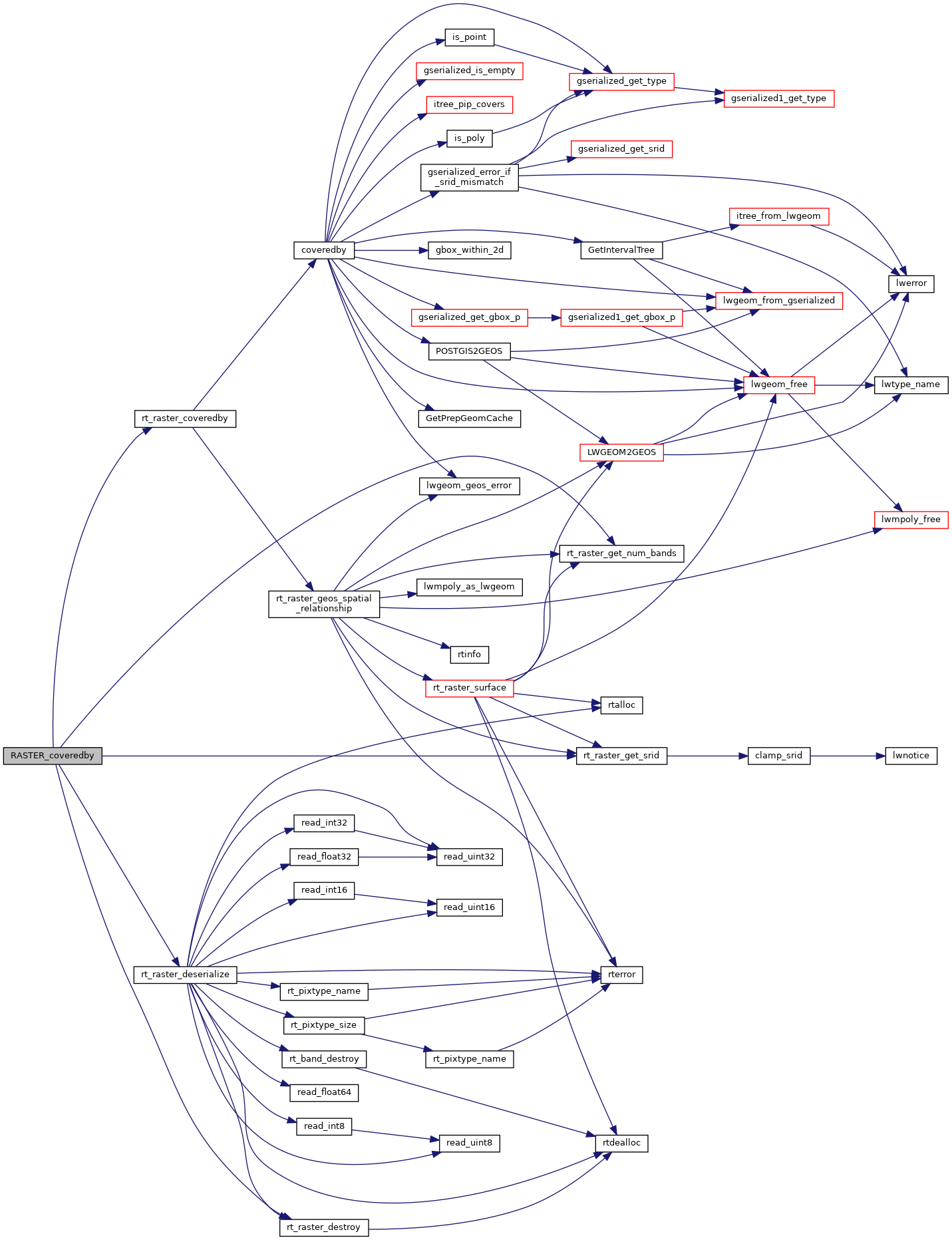
References ES_NONE, FALSE, POSTGIS_RT_DEBUGF, result, rt_raster_coveredby(), rt_raster_deserialize(), rt_raster_destroy(), rt_raster_get_num_bands(), and rt_raster_get_srid().
Here is the call graph for this function: