Loading...
Searching...
No Matches
◆ ptarray_dp_findsplit_in_place()
|
static |
Definition at line 1733 of file ptarray.c.
1734{
1735 uint32_t split = it_first;
1736 if ((it_first - it_last) < 2)
1737 return it_first;
1738
1741
1743 {
1744 /* If p1 == p2, we can just calculate the distance from each point to A */
1745 for (uint32_t itk = it_first + 1; itk < it_last; itk++)
1746 {
1749 if (distance_sqr > max_distance_sqr)
1750 {
1751 split = itk;
1752 max_distance_sqr = distance_sqr;
1753 }
1754 }
1755 return split;
1756 }
1757
1758 /* This is based on distance2d_sqr_pt_seg, but heavily inlined here to avoid recalculations */
1761 double ab_length_sqr = (ba_x * ba_x + ba_y * ba_y);
1762 /* To avoid the division by ab_length_sqr in the 3rd path, we normalize here
1763 * and multiply in the first two paths [(dot_ac_ab < 0) and (> ab_length_sqr)] */
1764 max_distance_sqr *= ab_length_sqr;
1765 for (uint32_t itk = it_first + 1; itk < it_last; itk++)
1766 {
1768 double distance_sqr;
1771 double dot_ac_ab = (ca_x * ba_x + ca_y * ba_y);
1772
1773 if (dot_ac_ab <= 0.0)
1774 {
1775 distance_sqr = distance2d_sqr_pt_pt(C, A) * ab_length_sqr;
1776 }
1777 else if (dot_ac_ab >= ab_length_sqr)
1778 {
1779 distance_sqr = distance2d_sqr_pt_pt(C, B) * ab_length_sqr;
1780 }
1781 else
1782 {
1783 double s_numerator = ca_x * ba_y - ca_y * ba_x;
1784 distance_sqr = s_numerator * s_numerator; /* Missing division by ab_length_sqr on purpose */
1785 }
1786
1787 if (distance_sqr > max_distance_sqr)
1788 {
1789 split = itk;
1790 max_distance_sqr = distance_sqr;
1791 }
1792 }
1793 return split;
1794}
static double distance2d_sqr_pt_pt(const POINT2D *p1, const POINT2D *p2)
Definition lwinline.h:33
static const POINT2D * getPoint2d_cp(const POINTARRAY *pa, uint32_t n)
Returns a POINT2D pointer into the POINTARRAY serialized_ptlist, suitable for reading from.
Definition lwinline.h:97
Definition liblwgeom.h:389
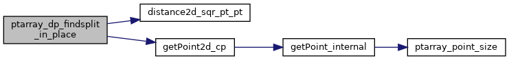
References distance2d_sqr_pt_pt(), getPoint2d_cp(), POINT2D::x, and POINT2D::y.
Referenced by ptarray_simplify_in_place().
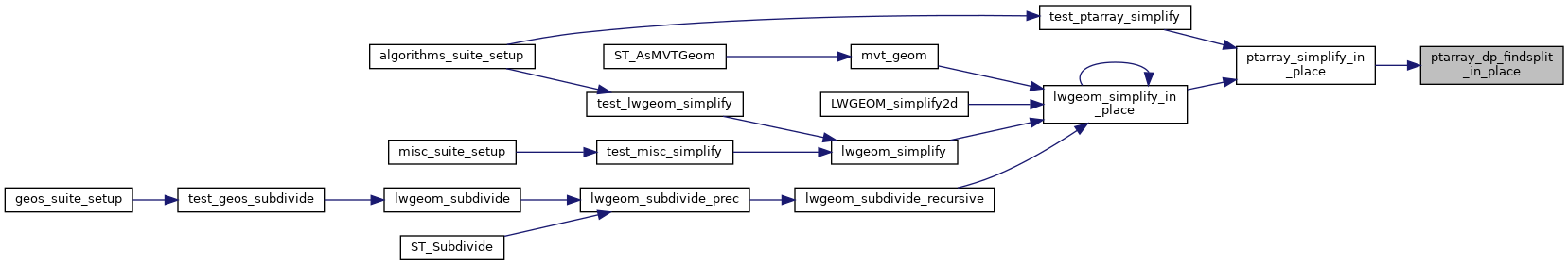
Here is the call graph for this function:
Here is the caller graph for this function: