Loading...
Searching...
No Matches
◆ lwgeom_as_multi()
Create a new LWGEOM of the appropriate MULTI* type.
Definition at line 380 of file lwgeom.c.
381{
382 LWGEOM **ogeoms;
383 LWGEOM *ogeom = NULL;
384 GBOX *box = NULL;
386
388
390
392 {
394 MULTITYPE[type],
395 lwgeom->srid,
398 );
399 }
400 else
401 {
403 ogeoms[0] = lwgeom_clone(lwgeom);
404
405 /* Sub-geometries are not allowed to have bboxes or SRIDs, move the bbox to the collection */
406 box = ogeoms[0]->bbox;
407 ogeoms[0]->bbox = NULL;
409
411 }
412
413 return ogeom;
414}
LWCOLLECTION * lwcollection_construct(uint8_t type, int32_t srid, GBOX *bbox, uint32_t ngeoms, LWGEOM **geoms)
Definition lwcollection.c:42
LWCOLLECTION * lwcollection_construct_empty(uint8_t type, int32_t srid, char hasz, char hasm)
Definition lwcollection.c:92
uint8_t MULTITYPE[NUMTYPES]
Look-up for the correct MULTI* type promotion for singleton types.
Definition lwgeom.c:354
static int lwgeom_is_empty(const LWGEOM *geom)
Return true or false depending on whether a geometry is an "empty" geometry (no vertices members)
Definition lwinline.h:199
Definition liblwgeom.h:352
Definition liblwgeom.h:457
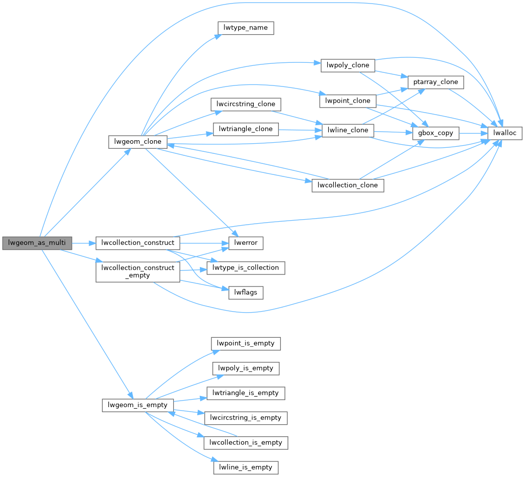
References LWGEOM::bbox, LWGEOM::flags, FLAGS_GET_M, FLAGS_GET_Z, lwalloc(), lwcollection_construct(), lwcollection_construct_empty(), lwgeom_clone(), lwgeom_is_empty(), MULTITYPE, LWGEOM::srid, SRID_UNKNOWN, and LWGEOM::type.
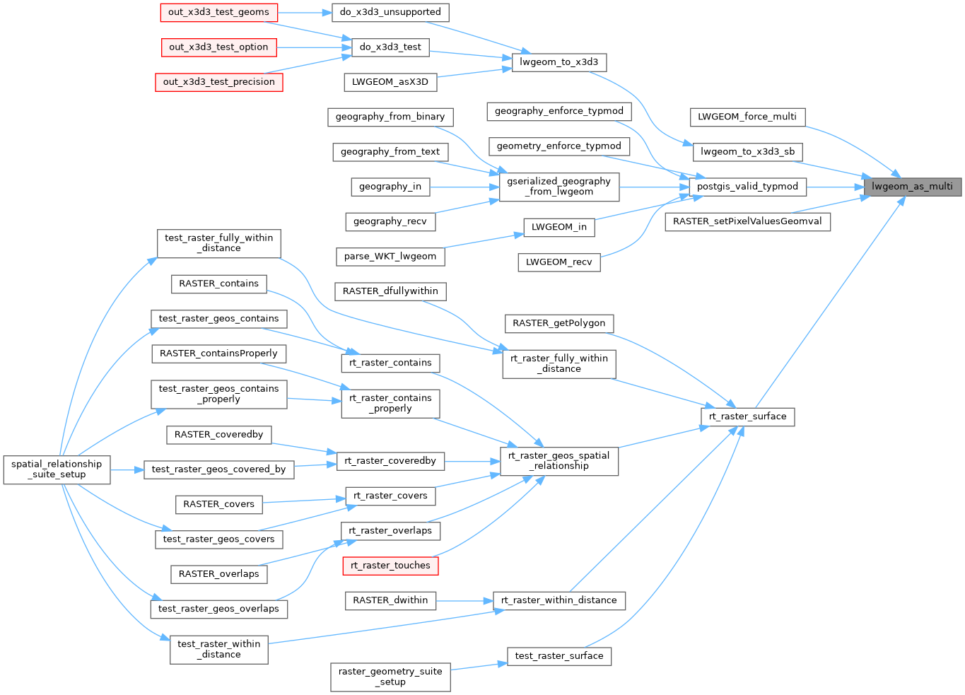
Referenced by LWGEOM_force_multi(), lwgeom_to_x3d3_sb(), postgis_valid_typmod(), RASTER_setPixelValuesGeomval(), and rt_raster_surface().
Here is the call graph for this function:
Here is the caller graph for this function: