Loading...
Searching...
No Matches
◆ lw_dist2d_tri_curvepoly()
| int lw_dist2d_tri_curvepoly | ( | LWTRIANGLE * | tri, |
| LWCURVEPOLY * | poly, | ||
| DISTPTS * | dl | ||
| ) |
Definition at line 904 of file measures.c.
905{
907
908 /* If we are looking for maxdistance, just check the outer rings.*/
911
912 /* Line has a point outside curvepoly. Check distance to outer ring only. */
914 {
917 /* Maybe poly is inside triangle? */
918 if (lwgeom_contains_point((LWGEOM *)tri, lw_curvering_getfirstpoint2d_cp(poly->rings[0])) != LW_OUTSIDE)
919 {
920 lw_dist2d_distpts_set(dl, 0.0, pt, pt);
922 }
923 }
924
926 {
929
930 /* just a check if the answer is already given */
933 }
934
935 /* It's inside a hole, then distance is actual min distance */
939
940 /* Not in hole, so inside polygon */
941 lw_dist2d_distpts_set(dl, 0.0, pt, pt);
943}
int lwgeom_contains_point(const LWGEOM *geom, const POINT2D *pt)
Definition lwcompound.c:172
static const POINT2D * getPoint2d_cp(const POINTARRAY *pa, uint32_t n)
Returns a POINT2D pointer into the POINTARRAY serialized_ptlist, suitable for reading from.
Definition lwinline.h:97
static void lw_dist2d_distpts_set(DISTPTS *dl, double distance, const POINT2D *p1, const POINT2D *p2)
Definition measures.c:81
int lw_dist2d_recursive(const LWGEOM *lwg1, const LWGEOM *lwg2, DISTPTS *dl)
This is a recursive function delivering every possible combination of subgeometries.
Definition measures.c:299
static const POINT2D * lw_curvering_getfirstpoint2d_cp(LWGEOM *geom)
Definition measures.c:883
Definition liblwgeom.h:457
Definition liblwgeom.h:389
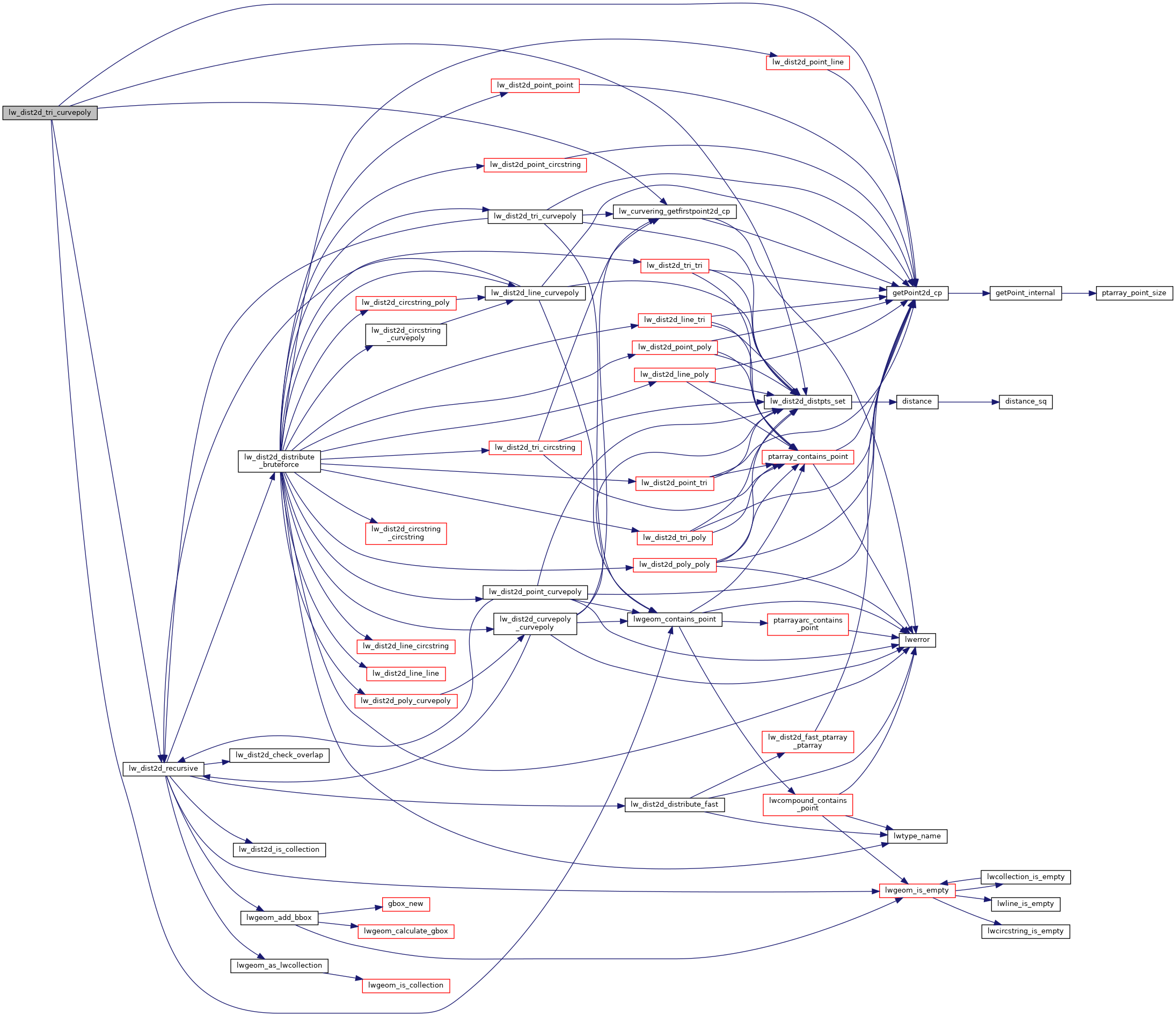
References DIST_MAX, DIST_MIN, DISTPTS::distance, getPoint2d_cp(), lw_curvering_getfirstpoint2d_cp(), lw_dist2d_distpts_set(), lw_dist2d_recursive(), LW_FALSE, LW_OUTSIDE, LW_TRUE, lwgeom_contains_point(), DISTPTS::mode, LWCURVEPOLY::nrings, LWTRIANGLE::points, LWCURVEPOLY::rings, and DISTPTS::tolerance.
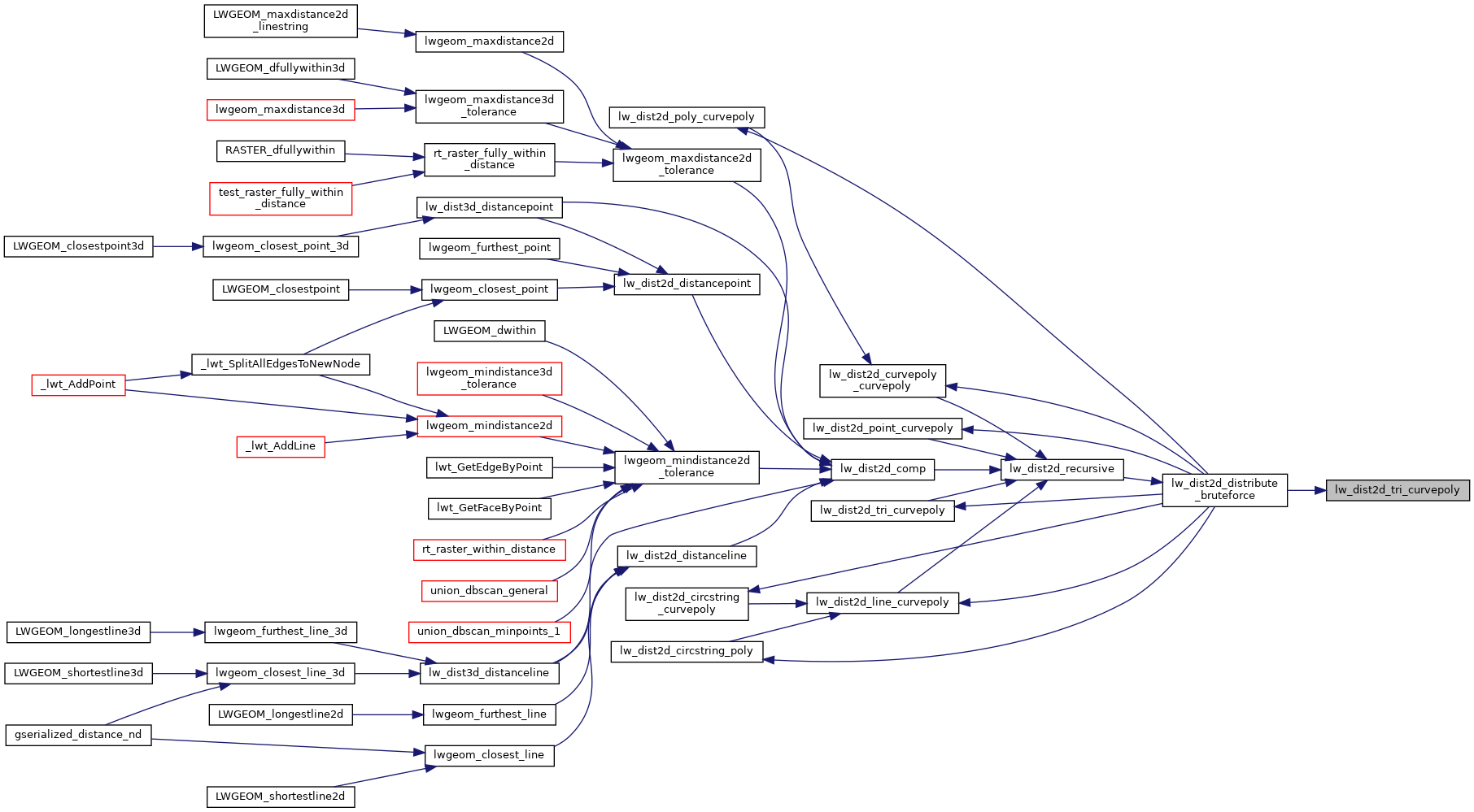
Referenced by lw_dist2d_distribute_bruteforce().
Here is the call graph for this function:
Here is the caller graph for this function: