Loading...
Searching...
No Matches
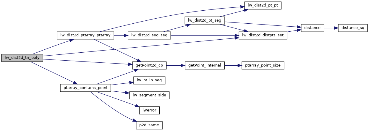
◆ lw_dist2d_tri_poly()
| int lw_dist2d_tri_poly | ( | LWTRIANGLE * | tri, |
| LWPOLY * | poly, | ||
| DISTPTS * | dl | ||
| ) |
Definition at line 835 of file measures.c.
836{
839
840 /* If we are looking for maxdistance, just check the outer rings.*/
843
844 /* Triangle has a point outside poly. Check distance to outer ring only. */
846 {
849
850 /* just a check if the answer is already given */
853
854 /* Maybe poly is inside triangle? */
857 {
858 lw_dist2d_distpts_set(dl, 0.0, pt2, pt2);
860 }
861 }
862
864 {
867
868 /* just a check if the answer is already given */
871 }
872
873 /* It's inside a hole, then the actual distance is the min ring distance */
877
878 /* Not in hole, so inside polygon */
879 lw_dist2d_distpts_set(dl, 0.0, pt, pt);
881}
int ptarray_contains_point(const POINTARRAY *pa, const POINT2D *pt)
The following is based on the "Fast Winding Number Inclusion of a Point in a Polygon" algorithm by Da...
Definition ptarray.c:755
static const POINT2D * getPoint2d_cp(const POINTARRAY *pa, uint32_t n)
Returns a POINT2D pointer into the POINTARRAY serialized_ptlist, suitable for reading from.
Definition lwinline.h:97
static void lw_dist2d_distpts_set(DISTPTS *dl, double distance, const POINT2D *p1, const POINT2D *p2)
Definition measures.c:81
int lw_dist2d_ptarray_ptarray(POINTARRAY *l1, POINTARRAY *l2, DISTPTS *dl)
test each segment of l1 against each segment of l2.
Definition measures.c:1197
Definition liblwgeom.h:389
Definition liblwgeom.h:426
References DIST_MAX, DIST_MIN, DISTPTS::distance, getPoint2d_cp(), lw_dist2d_distpts_set(), lw_dist2d_ptarray_ptarray(), LW_FALSE, LW_OUTSIDE, LW_TRUE, DISTPTS::mode, LWPOLY::nrings, LWTRIANGLE::points, ptarray_contains_point(), LWPOLY::rings, and DISTPTS::tolerance.
Referenced by lw_dist2d_distribute_bruteforce().
Here is the call graph for this function:
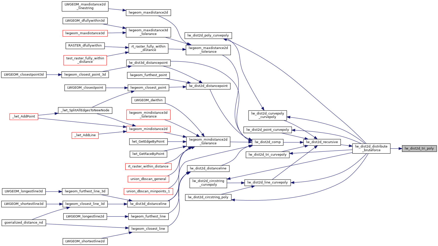
Here is the caller graph for this function: