Loading...
Searching...
No Matches
◆ test_raster_to_gdal()
|
static |
Definition at line 280 of file cu_gdal.c.
280 {
284 uint32_t x;
285 uint32_t width = 100;
286 uint32_t y;
287 uint32_t height = 100;
288 char srs[] = "PROJCS[\"unnamed\",GEOGCS[\"unnamed ellipse\",DATUM[\"unknown\",SPHEROID[\"unnamed\",6370997,0]],PRIMEM[\"Greenwich\",0],UNIT[\"degree\",0.0174532925199433]],PROJECTION[\"Lambert_Azimuthal_Equal_Area\"],PARAMETER[\"latitude_of_center\",45],PARAMETER[\"longitude_of_center\",-100],PARAMETER[\"false_easting\",0],PARAMETER[\"false_northing\",0],UNIT[\"Meter\",1],AUTHORITY[\"EPSG\",\"2163\"]]";
289
290 uint64_t gdalSize;
291 uint8_t *gdal = NULL;
292
294 CU_ASSERT(raster != NULL); /* or we're out of virtual memory */
295
297 CU_ASSERT(band != NULL);
298
299 rt_raster_set_offsets(raster, -500000, 600000);
300 rt_raster_set_scale(raster, 1000, -1000);
301
305 }
306 }
307
309 /*printf("gdalSize: %d\n", (int) gdalSize);*/
310 CU_ASSERT(gdalSize);
311
312 /*
313 FILE *fh = NULL;
314 fh = fopen("/tmp/out.tif", "w");
315 fwrite(gdal, sizeof(uint8_t), gdalSize, fh);
316 fclose(fh);
317 */
318
319 if (gdal) CPLFree(gdal);
320
321 cu_free_raster(raster);
322
324 CU_ASSERT(raster != NULL); /* or we're out of virtual memory */
325
327 CU_ASSERT(band != NULL);
328
329 rt_raster_set_offsets(raster, -500000, 600000);
330 rt_raster_set_scale(raster, 1000, -1000);
331
334 rt_band_set_pixel(band, x, y, x, NULL);
335 }
336 }
337
338 /* add check that band isn't NODATA */
340
342 /*printf("gdalSize: %d\n", (int) gdalSize);*/
343 CU_ASSERT(gdalSize);
344
345 if (gdal) CPLFree(gdal);
346
348 CU_ASSERT(gdal == NULL);
349
350 cu_free_raster(raster);
351}
void rt_raster_set_scale(rt_raster raster, double scaleX, double scaleY)
Set scale in projection units.
Definition rt_raster.c:141
uint8_t * rt_raster_to_gdal(rt_raster raster, const char *srs, char *format, char **options, uint64_t *gdalsize)
Return formatted GDAL raster from raster.
Definition rt_raster.c:1598
rt_raster rt_raster_new(uint32_t width, uint32_t height)
Construct a raster with given dimensions.
Definition rt_raster.c:52
int rt_band_check_is_nodata(rt_band band)
Returns TRUE if the band is only nodata values.
Definition rt_band.c:2060
rt_errorstate rt_band_set_pixel(rt_band band, int x, int y, double val, int *converted)
Set single pixel's value.
Definition rt_band.c:1125
void rt_raster_set_offsets(rt_raster raster, double x, double y)
Set insertion points in projection units.
Definition rt_raster.c:203
raster
Be careful!! Zeros function's input parameter can be a (height x width) array, not (width x height): ...
Definition rtrowdump.py:121
rt_band cu_add_band(rt_raster raster, rt_pixtype pixtype, int hasnodata, double nodataval)
Definition raster/test/cunit/cu_tester.c:224
Definition librtcore.h:2503
Definition librtcore.h:2474
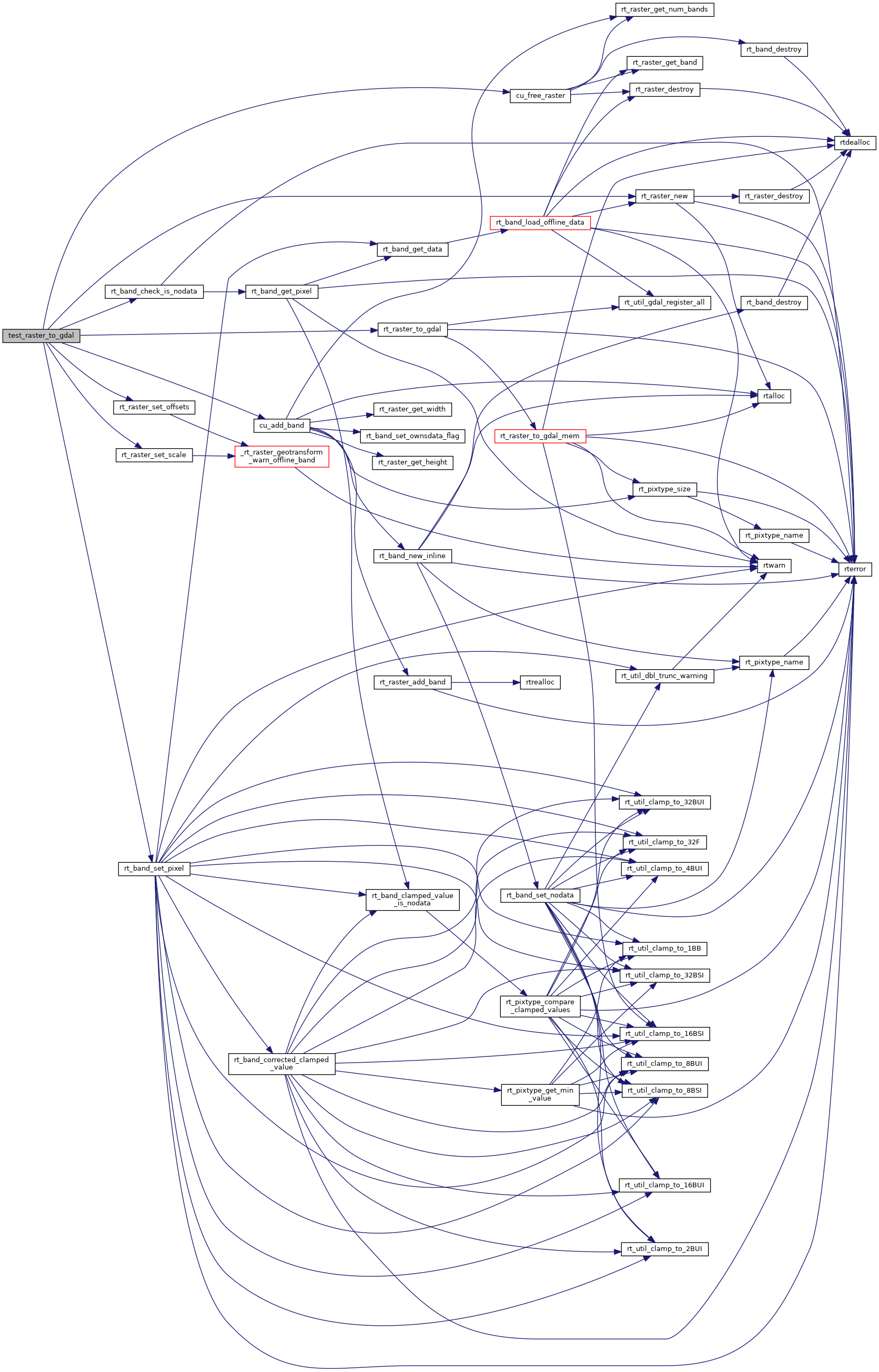
References cu_add_band(), cu_free_raster(), FALSE, PT_64BF, rt_band_check_is_nodata(), rt_band_set_pixel(), rt_raster_new(), rt_raster_set_offsets(), rt_raster_set_scale(), and rt_raster_to_gdal().
Referenced by gdal_suite_setup().
Here is the call graph for this function:
Here is the caller graph for this function: