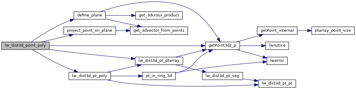
◆ lw_dist3d_point_poly()
Computes point to polygon distance For mindistance that means: 1) find the plane of the polygon 2) projecting the point to the plane of the polygon 3) finding if that projected point is inside the polygon, if so the distance is measured to that projected point 4) if not in polygon above, check the distance against the boundary of the polygon for max distance it is always point against boundary.
Definition at line 778 of file measures3d.c.
789 /* Find the plane of the polygon, the "holes" have to be on the same plane. so we only care about the boundary */
int getPoint3dz_p(const POINTARRAY *pa, uint32_t n, POINT3DZ *point)
Definition: lwgeom_api.c:215
static double project_point_on_plane(const POINT3DZ *p, PLANE3D *pl, POINT3DZ *p0)
Finds a point on a plane from where the original point is perpendicular to the plane.
Definition: measures3d.c:57
int lw_dist3d_pt_ptarray(const POINT3DZ *p, const POINTARRAY *pa, DISTPTS3D *dl)
search all the segments of pointarray to see which one is closest to p Returns distance between point...
Definition: measures3d.c:996
int lw_dist3d_pt_poly(const POINT3DZ *p, const LWPOLY *poly, PLANE3D *plane, POINT3DZ *projp, DISTPTS3D *dl)
Checking if the point projected on the plane of the polygon actually is inside that polygon.
Definition: measures3d.c:1291
Definition: measures3d.h:56
Definition: liblwgeom.h:395
References define_plane(), DIST_MAX, getPoint3dz_p(), lw_dist3d_pt_poly(), lw_dist3d_pt_ptarray(), LWDEBUG, DISTPTS3D::mode, LWPOINT::point, project_point_on_plane(), and LWPOLY::rings.
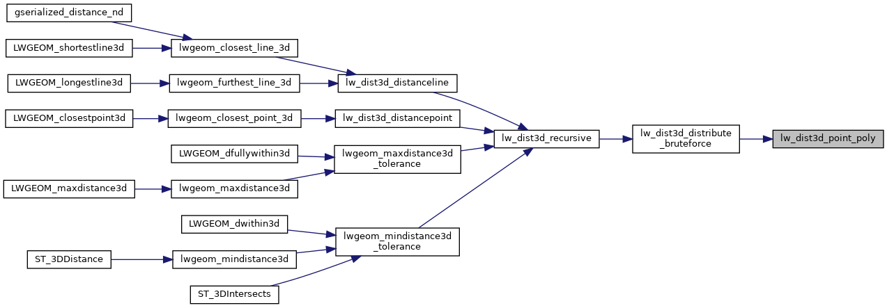
Referenced by lw_dist3d_distribute_bruteforce().
Here is the call graph for this function:
Here is the caller graph for this function: