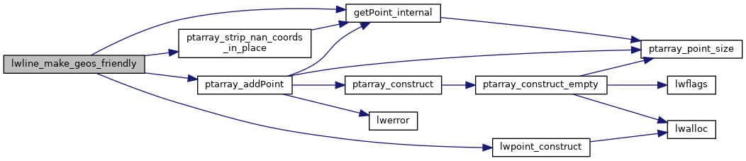
◆ lwline_make_geos_friendly()
Definition at line 211 of file liblwgeom/lwgeom_geos_clean.c.
static void ptarray_strip_nan_coords_in_place(POINTARRAY *pa)
Definition: liblwgeom/lwgeom_geos_clean.c:43
POINTARRAY * ptarray_addPoint(const POINTARRAY *pa, uint8_t *p, size_t pdims, uint32_t where)
Add a point in a pointarray.
Definition: ptarray.c:530
LWPOINT * lwpoint_construct(int32_t srid, GBOX *bbox, POINTARRAY *point)
Definition: lwpoint.c:129
static uint8_t * getPoint_internal(const POINTARRAY *pa, uint32_t n)
Definition: lwinline.h:75
Definition: liblwgeom.h:457
References POINTARRAY::flags, FLAGS_NDIMS, getPoint_internal(), lwpoint_construct(), POINTARRAY::npoints, LWLINE::points, ptarray_addPoint(), ptarray_strip_nan_coords_in_place(), and LWLINE::srid.
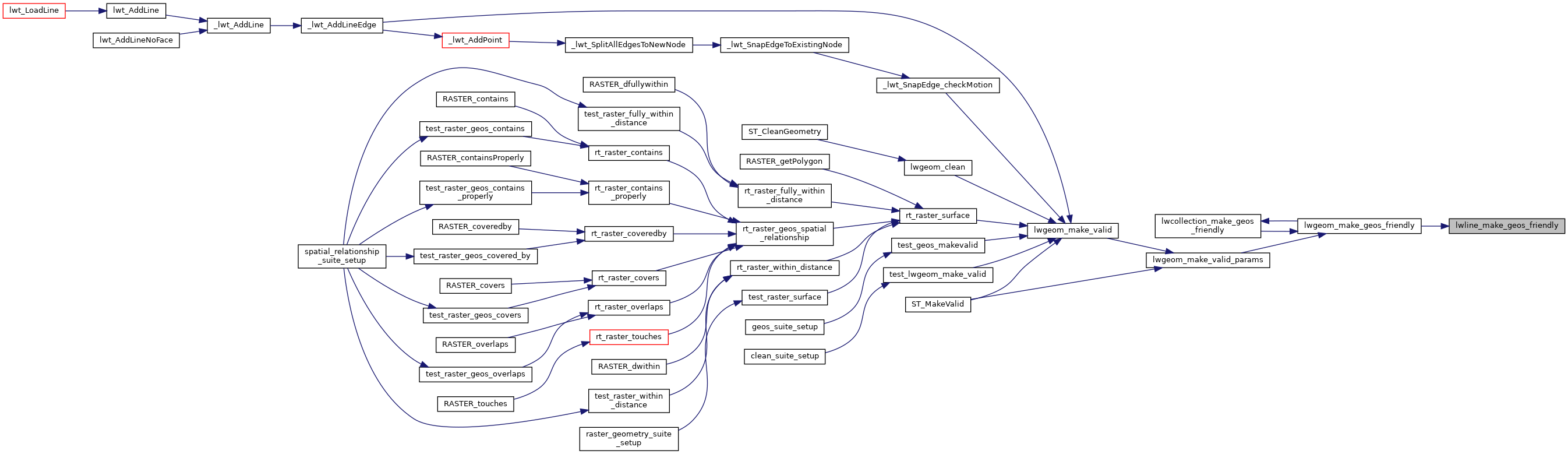
Referenced by lwgeom_make_geos_friendly().
Here is the call graph for this function:
Here is the caller graph for this function: