◆ gserialized_error_if_srid_mismatch_reference()
| void gserialized_error_if_srid_mismatch_reference | ( | const GSERIALIZED * | g1, |
| const int32_t | srid2, | ||
| const char * | funcname | ||
| ) |
Definition at line 447 of file gserialized.c.
uint32_t gserialized1_get_type(const GSERIALIZED *g)
Extract the geometry type from the serialized form (it hides in the anonymous data area,...
Definition: gserialized1.c:132
int32_t gserialized_get_srid(const GSERIALIZED *g)
Extract the SRID from the serialized form (it is packed into three bytes so this is a handy function)...
Definition: gserialized.c:155
const char * lwtype_name(uint8_t type)
Return the type name string associated with a type number (e.g.
Definition: lwutil.c:216
void void lwerror(const char *fmt,...) __attribute__((format(printf
Write a notice out to the error handler.
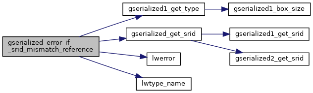
References gserialized1_get_type(), gserialized_get_srid(), lwerror(), and lwtype_name().
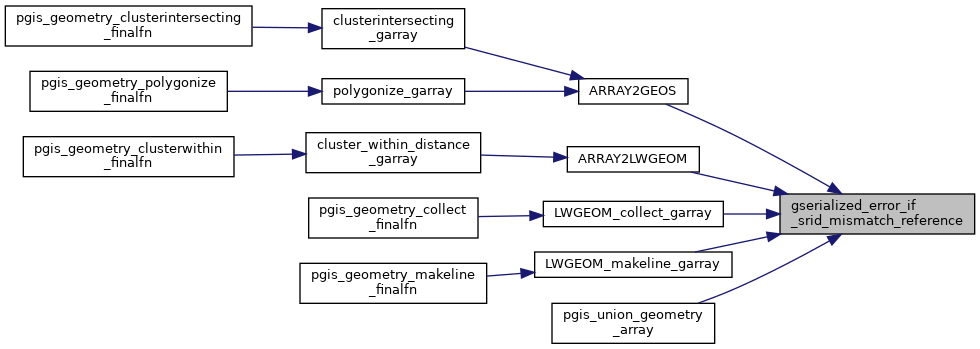
Referenced by ARRAY2GEOS(), ARRAY2LWGEOM(), LWGEOM_collect_garray(), LWGEOM_makeline_garray(), and pgis_union_geometry_array().
Here is the call graph for this function:
Here is the caller graph for this function: