◆ lwgeom_geohash()
| lwvarlena_t* lwgeom_geohash | ( | const LWGEOM * | lwgeom, |
| int | precision | ||
| ) |
Calculate the GeoHash (http://geohash.org) string for a geometry.
Caller must free.
Definition at line 868 of file lwalgorithm.c.
int lwgeom_calculate_gbox_cartesian(const LWGEOM *lwgeom, GBOX *gbox)
Calculate the 2-4D bounding box of a geometry.
Definition: gbox.c:752
int lwgeom_geohash_precision(GBOX bbox, GBOX *bounds)
Definition: lwalgorithm.c:771
lwvarlena_t * geohash_point(double longitude, double latitude, int precision)
Definition: lwalgorithm.c:603
void void lwerror(const char *fmt,...) __attribute__((format(printf
Write a notice out to the error handler.
Definition: liblwgeom.h:352
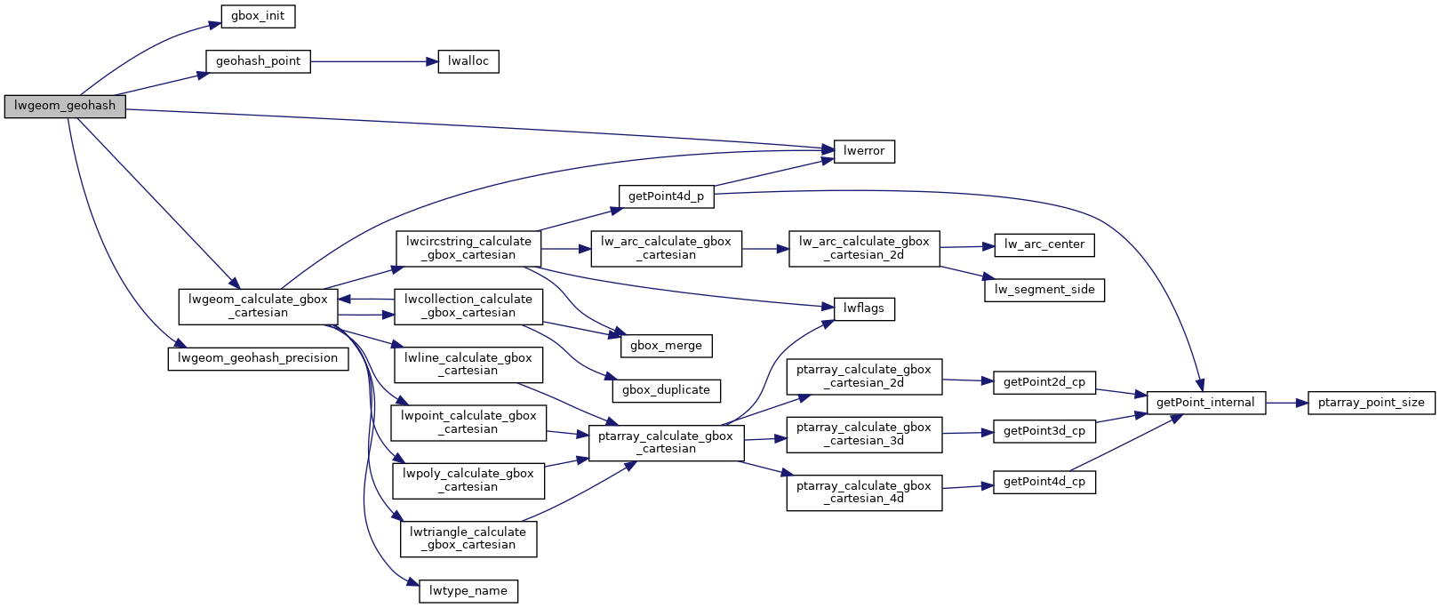
References gbox_init(), geohash_point(), LW_FAILURE, lwerror(), lwgeom_calculate_gbox_cartesian(), lwgeom_geohash_precision(), precision, result, GBOX::xmax, GBOX::xmin, GBOX::ymax, and GBOX::ymin.
Referenced by ST_GeoHash(), and test_geohash().
Here is the call graph for this function:

Here is the caller graph for this function:
