◆ ptarray_closest_segment_2d()
| int ptarray_closest_segment_2d | ( | const POINTARRAY * | pa, |
| const POINT2D * | qp, | ||
| double * | dist | ||
| ) |
- Parameters
-
pa the subject pointarray qp the query point dist optional output for actual distance from segment
- Returns
- 0-based segment index for the closest segment (earliest segment in case of same distance)
Definition at line 1324 of file ptarray.c.
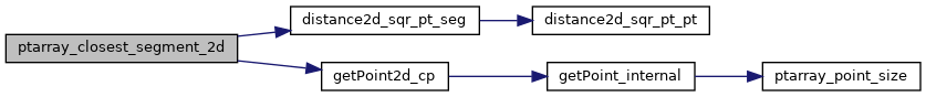
double distance2d_sqr_pt_seg(const POINT2D *p, const POINT2D *A, const POINT2D *B)
Definition: measures.c:2455
static const POINT2D * getPoint2d_cp(const POINTARRAY *pa, uint32_t n)
Returns a POINT2D pointer into the POINTARRAY serialized_ptlist, suitable for reading from.
Definition: lwinline.h:97
Definition: liblwgeom.h:389
References distance2d_sqr_pt_seg(), getPoint2d_cp(), LWDEBUG, and POINTARRAY::npoints.
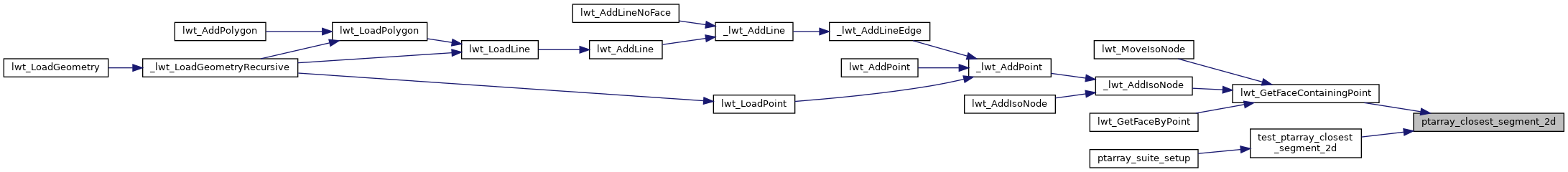
Referenced by lwt_GetFaceContainingPoint(), and test_ptarray_closest_segment_2d().
Here is the call graph for this function:
Here is the caller graph for this function: