PostGIS  3.7.0dev-r@@SVN_REVISION@@

◆ lwgeom_force_geodetic()

int lwgeom_force_geodetic ( LWGEOM geom)

Force coordinates of LWGEOM into geodetic range (-180, -90, 180, 90)

Definition at line 3070 of file lwgeodetic.c.

3071 {
3072  switch ( lwgeom_get_type(geom) )
3073  {
3074  case POINTTYPE:
3075  return lwpoint_force_geodetic((LWPOINT *)geom);
3076  case LINETYPE:
3077  return lwline_force_geodetic((LWLINE *)geom);
3078  case POLYGONTYPE:
3079  return lwpoly_force_geodetic((LWPOLY *)geom);
3080  case MULTIPOINTTYPE:
3081  case MULTILINETYPE:
3082  case MULTIPOLYGONTYPE:
3083  case COLLECTIONTYPE:
3084  return lwcollection_force_geodetic((LWCOLLECTION *)geom);
3085  default:
3086  lwerror("unsupported input geometry type: %d", lwgeom_get_type(geom));
3087  }
3088  return LW_FALSE;
3089 }
#define LW_FALSE
Definition: liblwgeom.h:94
#define COLLECTIONTYPE
Definition: liblwgeom.h:108
#define MULTILINETYPE
Definition: liblwgeom.h:106
#define LINETYPE
Definition: liblwgeom.h:103
#define MULTIPOINTTYPE
Definition: liblwgeom.h:105
#define POINTTYPE
LWTYPE numbers, used internally by PostGIS.
Definition: liblwgeom.h:102
#define MULTIPOLYGONTYPE
Definition: liblwgeom.h:107
#define POLYGONTYPE
Definition: liblwgeom.h:104
static int lwpoly_force_geodetic(LWPOLY *poly)
Definition: lwgeodetic.c:3042
static int lwcollection_force_geodetic(LWCOLLECTION *col)
Definition: lwgeodetic.c:3056
static int lwline_force_geodetic(LWLINE *line)
Definition: lwgeodetic.c:3036
static int lwpoint_force_geodetic(LWPOINT *point)
Definition: lwgeodetic.c:3030
void void lwerror(const char *fmt,...) __attribute__((format(printf
Write a notice out to the error handler.
static uint32_t lwgeom_get_type(const LWGEOM *geom)
Return LWTYPE number.
Definition: lwinline.h:141

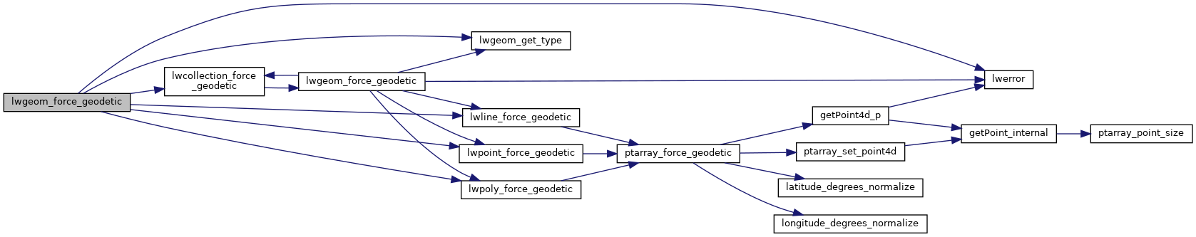
References COLLECTIONTYPE, LINETYPE, LW_FALSE, lwcollection_force_geodetic(), lwerror(), lwgeom_get_type(), lwline_force_geodetic(), lwpoint_force_geodetic(), lwpoly_force_geodetic(), MULTILINETYPE, MULTIPOINTTYPE, MULTIPOLYGONTYPE, POINTTYPE, and POLYGONTYPE.

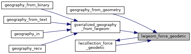
Referenced by geography_from_geometry(), gserialized_geography_from_lwgeom(), and lwcollection_force_geodetic().

Here is the call graph for this function:
Here is the caller graph for this function: