◆ lwgeom_mindistance2d_tolerance()
Function handling min distance calculations and dwithin calculations.
The difference is just the tolerance.
Definition at line 210 of file measures.c.
void void lwerror(const char *fmt,...) __attribute__((format(printf
Write a notice out to the error handler.
int lw_dist2d_comp(const LWGEOM *lw1, const LWGEOM *lw2, DISTPTS *dl)
This function just deserializes geometries Bboxes is not checked here since it is the subgeometries b...
Definition: measures.c:239
References DIST_MIN, DISTPTS::distance, lw_dist2d_comp(), LWDEBUG, lwerror(), DISTPTS::mode, and DISTPTS::tolerance.
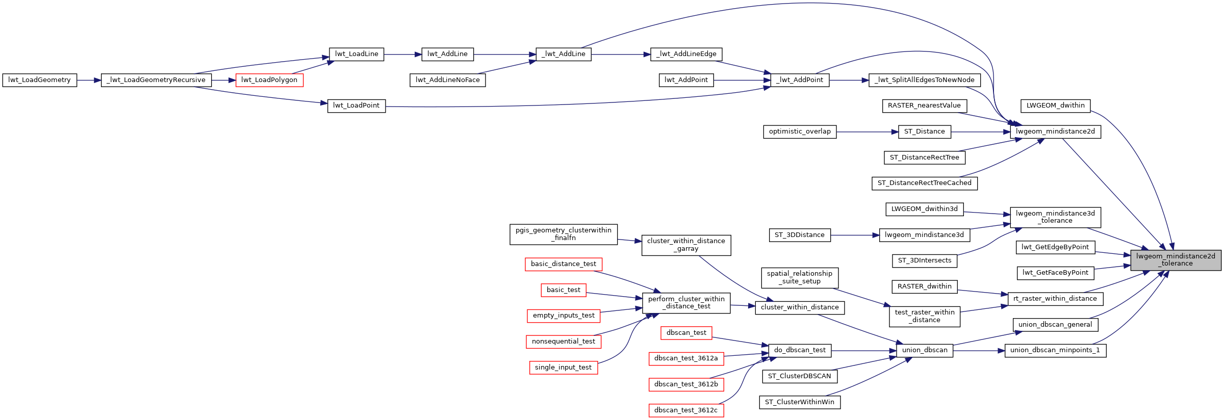
Referenced by LWGEOM_dwithin(), lwgeom_mindistance2d(), lwgeom_mindistance3d_tolerance(), lwt_GetEdgeByPoint(), lwt_GetFaceByPoint(), rt_raster_within_distance(), union_dbscan_general(), and union_dbscan_minpoints_1().
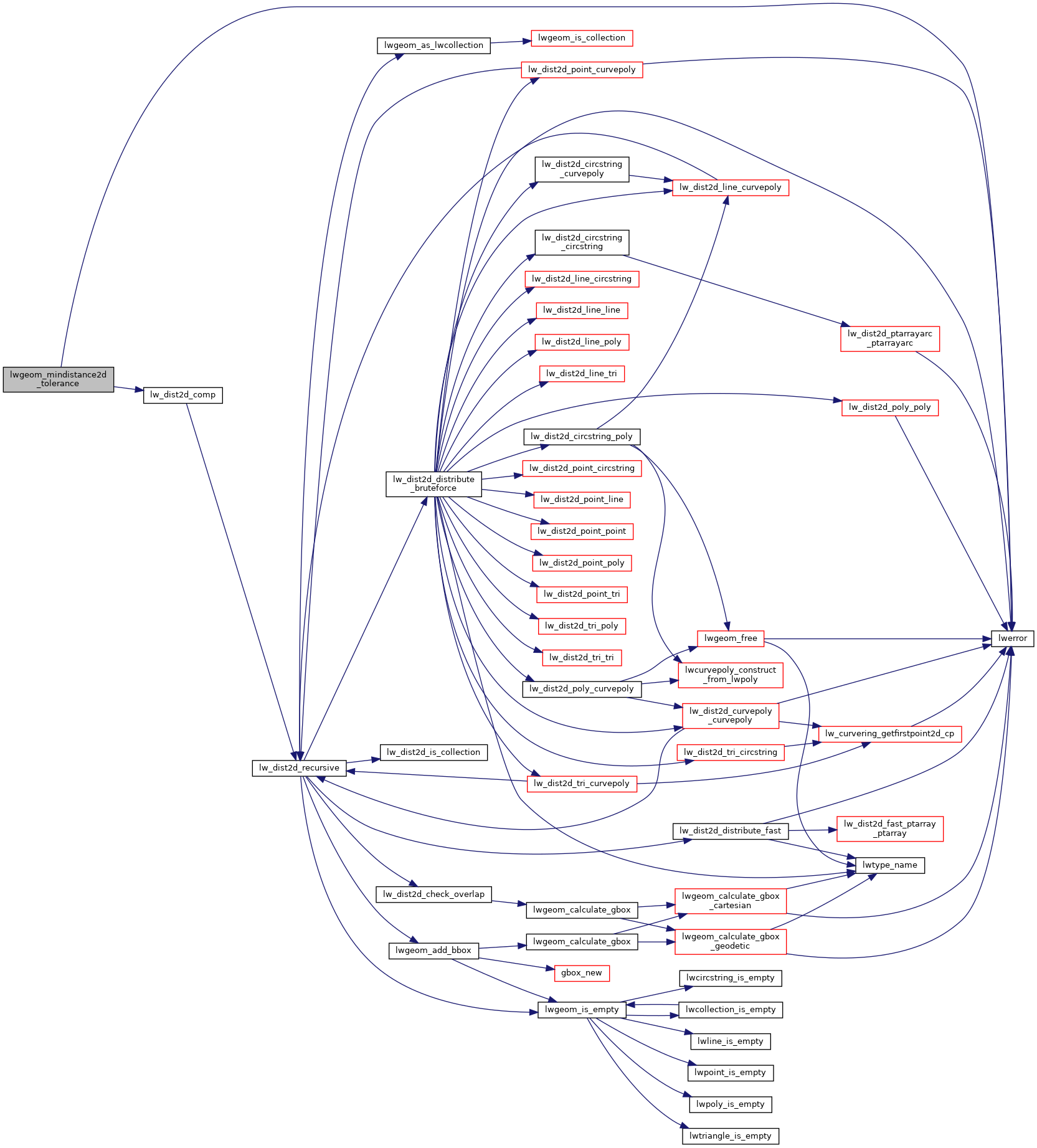
Here is the call graph for this function:
Here is the caller graph for this function: