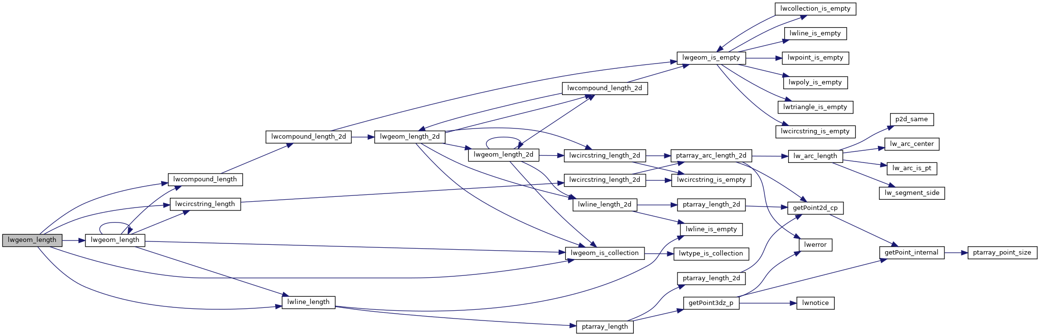
PostGIS  3.7.0dev-r@@SVN_REVISION@@

◆ lwgeom_length()

double lwgeom_length ( const LWGEOM geom)

Definition at line 2038 of file lwgeom.c.

2039 {
2040  int type = geom->type;
2041  if ( type == LINETYPE )
2042  return lwline_length((LWLINE*)geom);
2043  else if ( type == CIRCSTRINGTYPE )
2044  return lwcircstring_length((LWCIRCSTRING*)geom);
2045  else if ( type == COMPOUNDTYPE )
2046  return lwcompound_length((LWCOMPOUND*)geom);
2047  else if ( lwgeom_is_collection(geom) )
2048  {
2049  double length = 0.0;
2050  uint32_t i;
2051  LWCOLLECTION *col = (LWCOLLECTION*)geom;
2052  for ( i = 0; i < col->ngeoms; i++ )
2053  length += lwgeom_length(col->geoms[i]);
2054  return length;
2055  }
2056  else
2057  return 0.0;
2058 }
#define COMPOUNDTYPE
Definition: liblwgeom.h:110
#define LINETYPE
Definition: liblwgeom.h:103
#define CIRCSTRINGTYPE
Definition: liblwgeom.h:109
double lwcompound_length(const LWCOMPOUND *comp)
Definition: lwcompound.c:112
double lwline_length(const LWLINE *line)
Definition: lwline.c:513
double lwcircstring_length(const LWCIRCSTRING *circ)
Definition: lwcircstring.c:269
int lwgeom_is_collection(const LWGEOM *geom)
Determine whether a LWGEOM contains sub-geometries or not This basically just checks that the struct ...
Definition: lwgeom.c:1097
double lwgeom_length(const LWGEOM *geom)
Definition: lwgeom.c:2038
type
Definition: ovdump.py:42
uint32_t ngeoms
Definition: liblwgeom.h:580
LWGEOM ** geoms
Definition: liblwgeom.h:575
uint8_t type
Definition: liblwgeom.h:462

References CIRCSTRINGTYPE, COMPOUNDTYPE, LWCOLLECTION::geoms, LINETYPE, lwcircstring_length(), lwcompound_length(), lwgeom_is_collection(), lwgeom_length(), lwline_length(), LWCOLLECTION::ngeoms, LWGEOM::type, and ovdump::type.

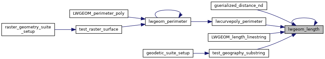
Referenced by gserialized_distance_nd(), lwcurvepoly_perimeter(), lwgeom_length(), LWGEOM_length_linestring(), and test_geography_substring().

Here is the call graph for this function:
Here is the caller graph for this function: