◆ LWGEOM_m_point()
| Datum LWGEOM_m_point | ( | PG_FUNCTION_ARGS | ) |
Definition at line 806 of file lwgeom_ogc.c.
int gserialized_has_m(const GSERIALIZED *g)
Check if a GSERIALIZED has an M ordinate.
Definition: gserialized.c:214
int gserialized_peek_first_point(const GSERIALIZED *g, POINT4D *out_point)
Pull the first point values of a GSERIALIZED.
Definition: gserialized.c:286
uint32_t gserialized_get_type(const GSERIALIZED *g)
Extract the geometry type from the serialized form (it hides in the anonymous data area,...
Definition: gserialized.c:118
Definition: liblwgeom.h:443
Definition: liblwgeom.h:413
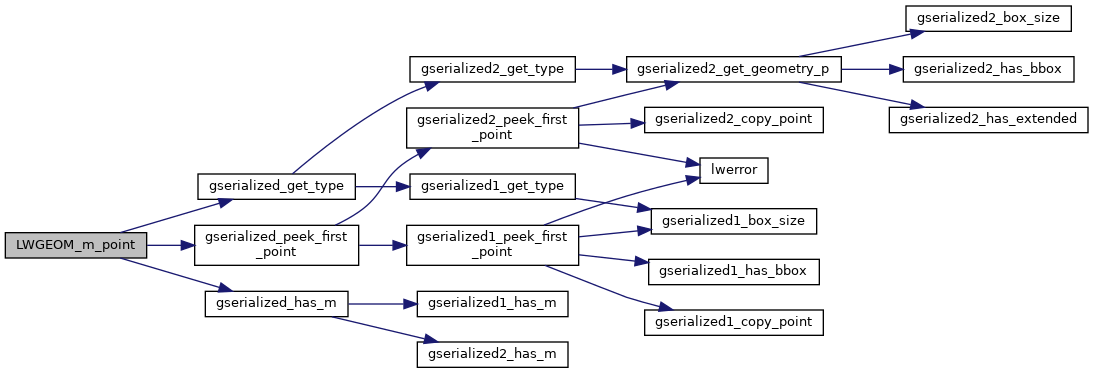
References gserialized_get_type(), gserialized_has_m(), gserialized_peek_first_point(), LW_FAILURE, POINT4D::m, and POINTTYPE.
Here is the call graph for this function:
