◆ LWGEOM_startpoint_linestring()
| Datum LWGEOM_startpoint_linestring | ( | PG_FUNCTION_ARGS | ) |
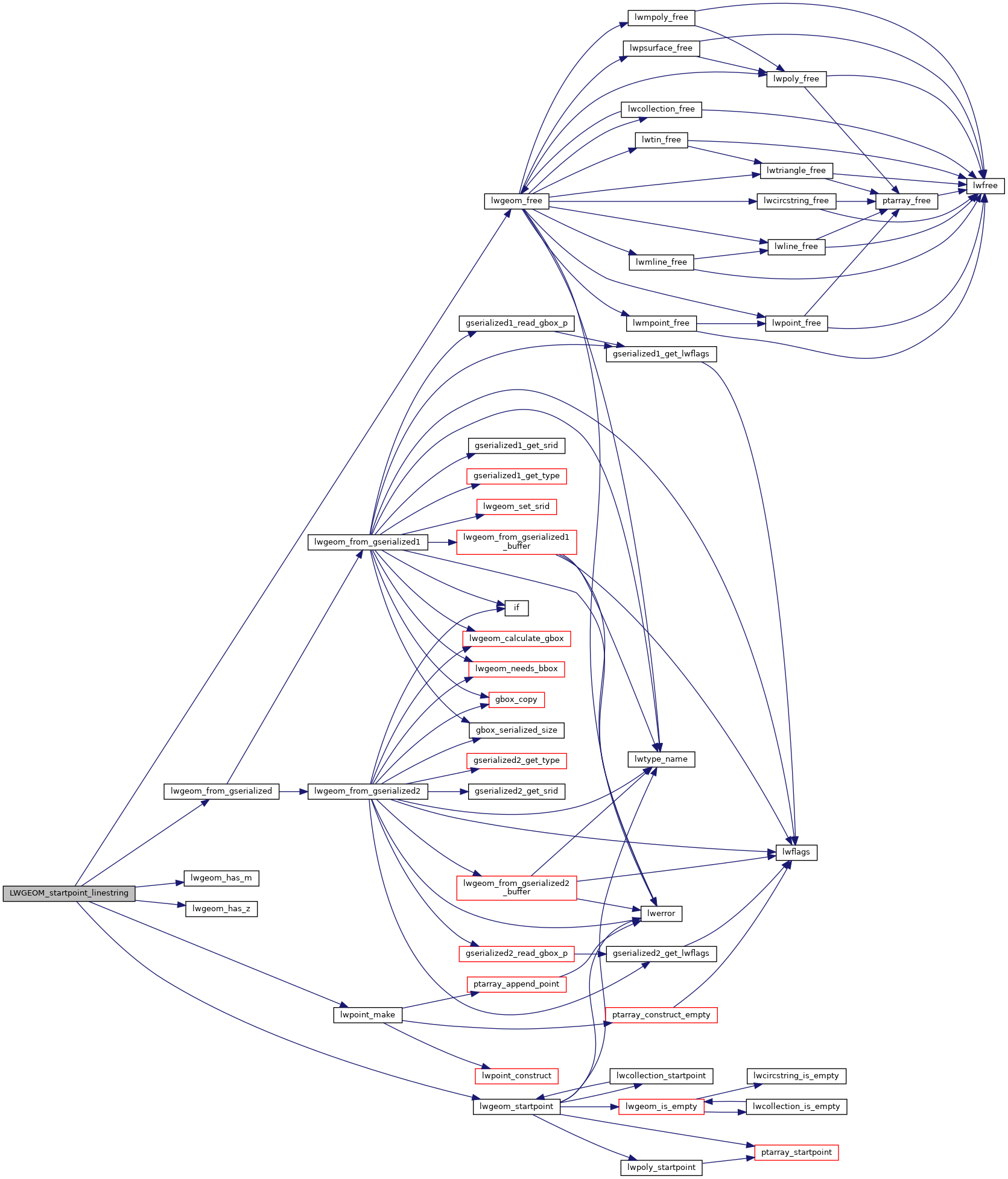
Definition at line 826 of file lwgeom_ogc.c.
839 lwpoint = (LWGEOM *)lwpoint_make(lwgeom->srid, lwgeom_has_z(lwgeom), lwgeom_has_m(lwgeom), &pt);
LWGEOM * lwgeom_from_gserialized(const GSERIALIZED *g)
Allocate a new LWGEOM from a GSERIALIZED.
Definition: gserialized.c:268
int lwgeom_has_z(const LWGEOM *geom)
Return LW_TRUE if geometry has Z ordinates.
Definition: lwgeom.c:934
int lwgeom_has_m(const LWGEOM *geom)
Return LW_TRUE if geometry has M ordinates.
Definition: lwgeom.c:941
LWPOINT * lwpoint_make(int32_t srid, int hasz, int hasm, const POINT4D *p)
Definition: lwpoint.c:206
Definition: liblwgeom.h:443
Definition: liblwgeom.h:457
Definition: liblwgeom.h:413
References LW_FAILURE, lwgeom_free(), lwgeom_from_gserialized(), lwgeom_has_m(), lwgeom_has_z(), lwgeom_startpoint(), lwpoint_make(), and LWGEOM::srid.
Here is the call graph for this function: