◆ rt_util_gdal_supported_sr()
| int rt_util_gdal_supported_sr | ( | const char * | srs | ) |
Definition at line 256 of file rt_util.c.
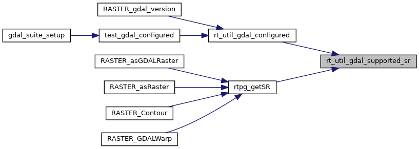
Referenced by rt_util_gdal_configured(), and rtpg_getSR().
Here is the caller graph for this function:
|
PostGIS
3.7.0dev-r@@SVN_REVISION@@
|
| int rt_util_gdal_supported_sr | ( | const char * | srs | ) |
Definition at line 256 of file rt_util.c.
Referenced by rt_util_gdal_configured(), and rtpg_getSR().