PostGIS  3.7.0dev-r@@SVN_REVISION@@

◆ test_gbox_to_string_truncated()

static void test_gbox_to_string_truncated ( void  )
static

Definition at line 1644 of file cu_geodetic.c.

1645 {
1646  GBOX g = {
1647  .flags = 0,
1648  .xmin = -DBL_MAX,
1649  .xmax = -DBL_MAX,
1650  .ymin = -DBL_MAX,
1651  .ymax = -DBL_MAX,
1652  .zmin = -DBL_MAX,
1653  .zmax = -DBL_MAX,
1654  .mmin = -DBL_MAX,
1655  .mmax = -DBL_MAX,
1656  };
1657  FLAGS_SET_Z(g.flags, 1);
1658  FLAGS_SET_M(g.flags, 1);
1659  char *c = gbox_to_string(&g);
1660 
1661  ASSERT_STRING_EQUAL(c, "GBOX((-1.7976931e+308,-1.7976931e+308,-1.7976931e+308,-1.7976931e+308),(-1.7976931e+308,-1.7976931e+308,-1.7976931e+308,-1.7976931e+308))");
1662 
1663  lwfree(c);
1664 }
char * gbox_to_string(const GBOX *gbox)
Allocate a string representation of the GBOX, based on dimensionality of flags.
Definition: gbox.c:404
#define ASSERT_STRING_EQUAL(o, e)
void lwfree(void *mem)
Definition: lwutil.c:248
#define FLAGS_SET_M(flags, value)
Definition: liblwgeom.h:173
#define FLAGS_SET_Z(flags, value)
Definition: liblwgeom.h:172
lwflags_t flags
Definition: liblwgeom.h:353

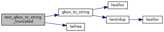
References ASSERT_STRING_EQUAL, GBOX::flags, FLAGS_SET_M, FLAGS_SET_Z, gbox_to_string(), and lwfree().

Referenced by geodetic_suite_setup().

Here is the call graph for this function:
Here is the caller graph for this function: