◆ ST_ReducePrecision()
| Datum ST_ReducePrecision | ( | PG_FUNCTION_ARGS | ) |
Definition at line 1506 of file postgis/lwgeom_geos.c.
LWGEOM * lwgeom_from_gserialized(const GSERIALIZED *g)
Allocate a new LWGEOM from a GSERIALIZED.
Definition: gserialized.c:268
LWGEOM * lwgeom_reduceprecision(const LWGEOM *geom, double gridSize)
Definition: liblwgeom/lwgeom_geos.c:970
Definition: liblwgeom.h:443
Definition: liblwgeom.h:457
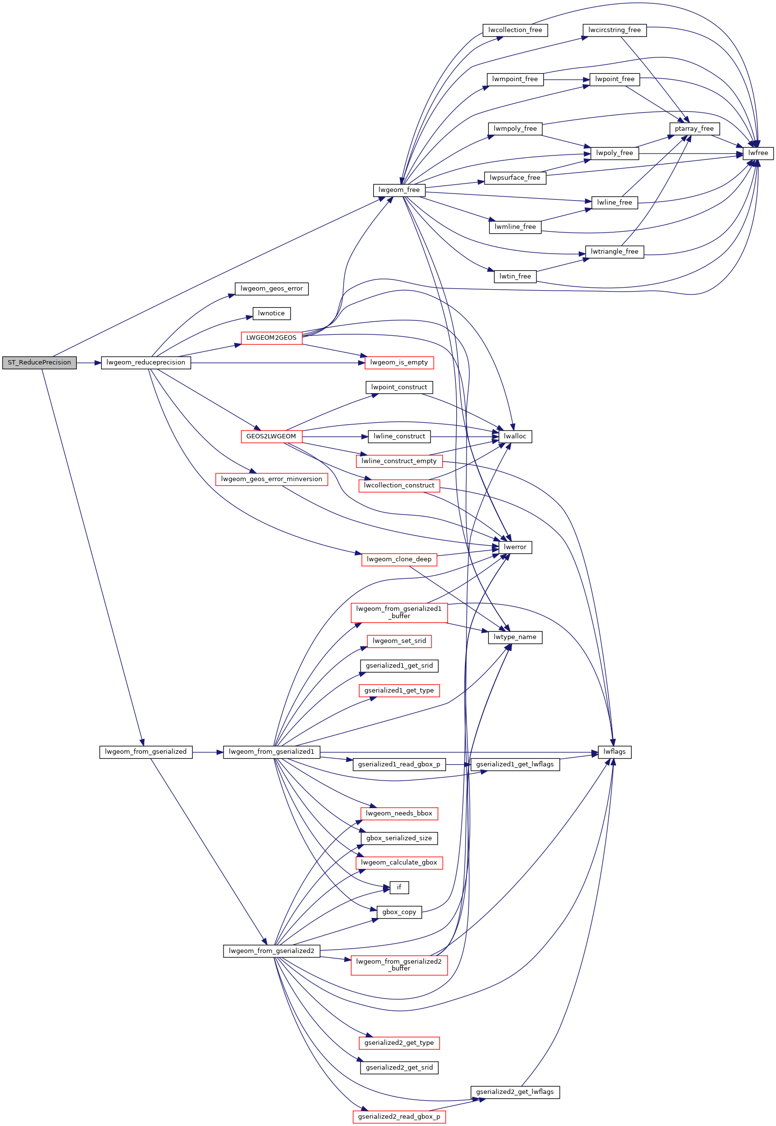
References lwgeom_free(), lwgeom_from_gserialized(), lwgeom_reduceprecision(), and result.
Here is the call graph for this function:
