◆ ptarray_signed_area()
| double ptarray_signed_area | ( | const POINTARRAY * | pa | ) |
Returns the area in cartesian units.
Area is negative if ring is oriented CCW, positive if it is oriented CW and zero if the ring is degenerate or flat. http://en.wikipedia.org/wiki/Shoelace_formula
Definition at line 1020 of file ptarray.c.
static const POINT2D * getPoint2d_cp(const POINTARRAY *pa, uint32_t n)
Returns a POINT2D pointer into the POINTARRAY serialized_ptlist, suitable for reading from.
Definition: lwinline.h:97
Definition: liblwgeom.h:389
References getPoint2d_cp(), POINTARRAY::npoints, POINT2D::x, pixval::x, and POINT2D::y.
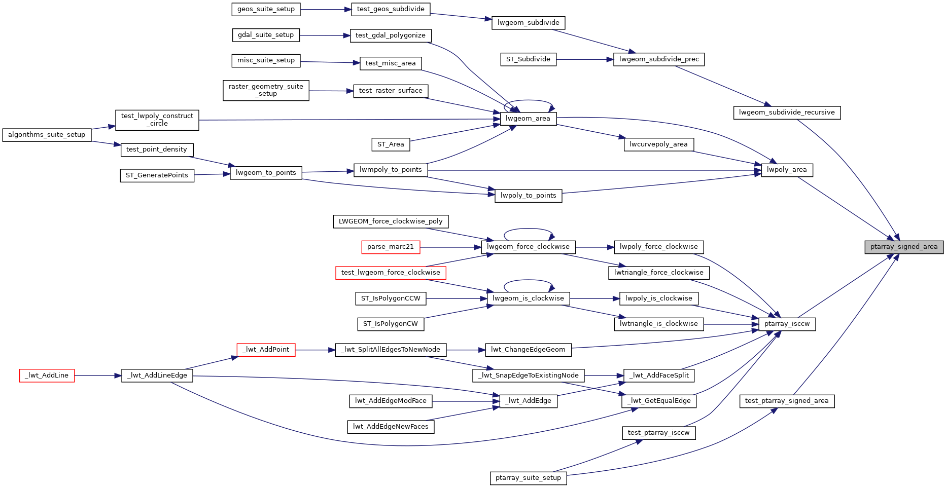
Referenced by lwgeom_subdivide_recursive(), lwpoly_area(), ptarray_isccw(), and test_ptarray_signed_area().
Here is the call graph for this function:

Here is the caller graph for this function: