◆ lwgeom_median()
| LWPOINT* lwgeom_median | ( | const LWGEOM * | g, |
| double | tol, | ||
| uint32_t | max_iter, | ||
| char | fail_if_not_converged | ||
| ) |
Definition at line 281 of file lwgeom_median.c.
const char * lwtype_name(uint8_t type)
Return the type name string associated with a type number (e.g.
Definition: lwutil.c:216
void void lwerror(const char *fmt,...) __attribute__((format(printf
Write a notice out to the error handler.
LWPOINT * lwmpoint_median(const LWMPOINT *g, double tol, uint32_t max_iter, char fail_if_not_converged)
Definition: lwgeom_median.c:232
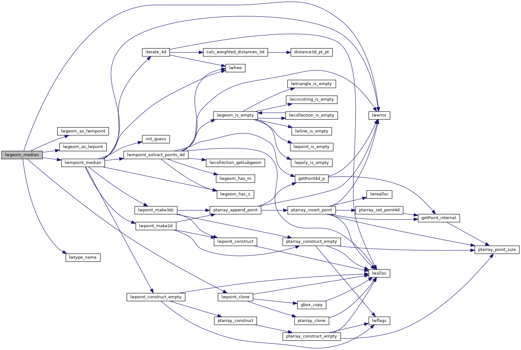
References lwerror(), lwgeom_as_lwmpoint(), lwgeom_as_lwpoint(), lwmpoint_median(), lwpoint_clone(), lwtype_name(), MULTIPOINTTYPE, POINTTYPE, and LWGEOM::type.
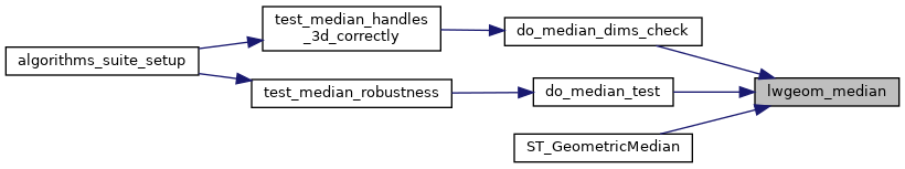
Referenced by do_median_dims_check(), do_median_test(), and ST_GeometricMedian().
Here is the call graph for this function:
Here is the caller graph for this function: