◆ encode_mpoly()
|
static |
Definition at line 347 of file geobuf.c.
static int64_t * encode_coords(struct geobuf_agg_context *ctx, POINTARRAY *pa, int64_t *coords, int len, int offset)
Definition: geobuf.c:161
Definition: liblwgeom.h:426
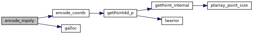
References geobuf_agg_context::dimensions, encode_coords(), galloc(), LWMPOLY::geoms, LWMPOLY::ngeoms, POINTARRAY::npoints, LWPOLY::nrings, and LWPOLY::rings.
Referenced by encode_geometry().
Here is the call graph for this function:
Here is the caller graph for this function: