PostGIS  3.7.0dev-r@@SVN_REVISION@@

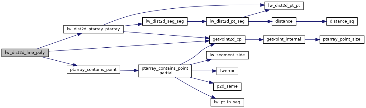
◆ lw_dist2d_line_poly()

int lw_dist2d_line_poly ( LWLINE line,
LWPOLY poly,
DISTPTS dl 
)

line to polygon calculation Brute force.

Test line-ring distance against each ring. If there's an intersection (distance==0) then return 0 (crosses boundary). Otherwise, test to see if any point is inside outer rings of polygon, but not in inner rings. If so, return 0 (line inside polygon), otherwise return min distance to a ring (could be outside polygon or inside a hole)

Definition at line 744 of file measures.c.

745 {
746  POINTARRAY *pa = line->points;
747  const POINT2D *pt = getPoint2d_cp(pa, 0);
748 
749  /* Line has a point outside poly. Check distance to outer ring only. */
750  if (ptarray_contains_point(poly->rings[0], pt) == LW_OUTSIDE || dl->mode == DIST_MAX)
751  return lw_dist2d_ptarray_ptarray(pa, poly->rings[0], dl);
752 
753  for (uint32_t i = 1; i < poly->nrings; i++)
754  {
755  if (!lw_dist2d_ptarray_ptarray(pa, poly->rings[i], dl))
756  return LW_FALSE;
757 
758  /* just a check if the answer is already given */
759  if (dl->distance <= dl->tolerance && dl->mode == DIST_MIN)
760  return LW_TRUE;
761  }
762 
763  /* It's inside a hole, then the actual distance is the min ring distance */
764  for (uint32_t i = 1; i < poly->nrings; i++)
765  if (ptarray_contains_point(poly->rings[i], pt) != LW_OUTSIDE)
766  return LW_TRUE;
767 
768  /* Not in hole, so inside polygon */
769  if (dl->mode == DIST_MIN)
770  {
771  dl->distance = 0.0;
772  dl->p1.x = dl->p2.x = pt->x;
773  dl->p1.y = dl->p2.y = pt->y;
774  }
775  return LW_TRUE;
776 }
#define LW_FALSE
Definition: liblwgeom.h:94
#define LW_TRUE
Return types for functions with status returns.
Definition: liblwgeom.h:93
int ptarray_contains_point(const POINTARRAY *pa, const POINT2D *pt)
Return LW_INSIDE if the point is inside the POINTARRAY, LW_OUTSIDE if it is outside,...
Definition: ptarray.c:751
#define LW_OUTSIDE
static const POINT2D * getPoint2d_cp(const POINTARRAY *pa, uint32_t n)
Returns a POINT2D pointer into the POINTARRAY serialized_ptlist, suitable for reading from.
Definition: lwinline.h:97
int lw_dist2d_ptarray_ptarray(POINTARRAY *l1, POINTARRAY *l2, DISTPTS *dl)
test each segment of l1 against each segment of l2.
Definition: measures.c:1219
#define DIST_MIN
Definition: measures.h:44
#define DIST_MAX
Definition: measures.h:43
POINT2D p1
Definition: measures.h:52
POINT2D p2
Definition: measures.h:53
double tolerance
Definition: measures.h:56
int mode
Definition: measures.h:54
double distance
Definition: measures.h:51
POINTARRAY * points
Definition: liblwgeom.h:483
POINTARRAY ** rings
Definition: liblwgeom.h:519
uint32_t nrings
Definition: liblwgeom.h:524
double y
Definition: liblwgeom.h:390
double x
Definition: liblwgeom.h:390

References DIST_MAX, DIST_MIN, DISTPTS::distance, getPoint2d_cp(), lw_dist2d_ptarray_ptarray(), LW_FALSE, LW_OUTSIDE, LW_TRUE, DISTPTS::mode, LWPOLY::nrings, DISTPTS::p1, DISTPTS::p2, LWLINE::points, ptarray_contains_point(), LWPOLY::rings, DISTPTS::tolerance, POINT2D::x, and POINT2D::y.

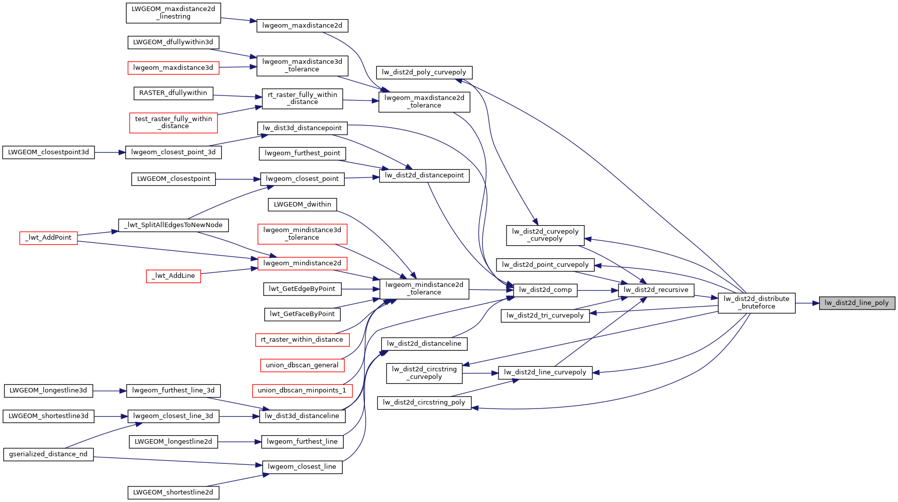
Referenced by lw_dist2d_distribute_bruteforce().

Here is the call graph for this function:
Here is the caller graph for this function: