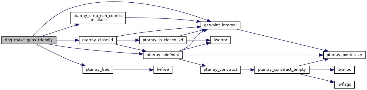
◆ ring_make_geos_friendly()
| POINTARRAY * ring_make_geos_friendly | ( | POINTARRAY * | ring | ) |
Definition at line 222 of file liblwgeom/lwgeom_geos_clean.c.
240 ring = ptarray_addPoint(ring, getPoint_internal(ring, 0), FLAGS_NDIMS(ring->flags), ring->npoints);
static POINTARRAY * ptarray_close2d(POINTARRAY *ring)
Definition: liblwgeom/lwgeom_geos_clean.c:206
static void ptarray_strip_nan_coords_in_place(POINTARRAY *pa)
Definition: liblwgeom/lwgeom_geos_clean.c:123
POINTARRAY * ptarray_addPoint(const POINTARRAY *pa, uint8_t *p, size_t pdims, uint32_t where)
Add a point in a pointarray.
Definition: ptarray.c:522
static uint8_t * getPoint_internal(const POINTARRAY *pa, uint32_t n)
Definition: lwinline.h:77
Definition: liblwgeom.h:426
References POINTARRAY::flags, FLAGS_NDIMS, getPoint_internal(), LWDEBUGF, POINTARRAY::npoints, ptarray_addPoint(), ptarray_close2d(), ptarray_free(), and ptarray_strip_nan_coords_in_place().
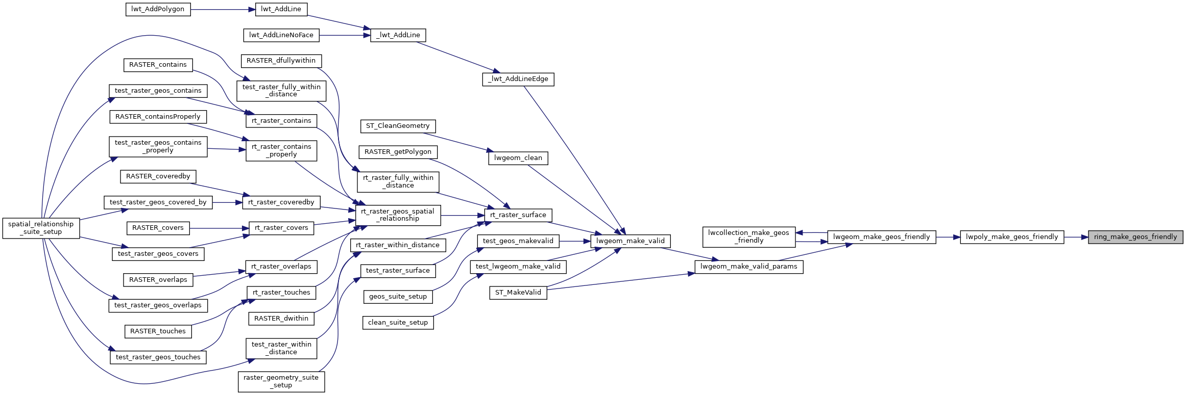
Referenced by lwpoly_make_geos_friendly().
Here is the call graph for this function:
Here is the caller graph for this function: