PostGIS  3.4.0dev-r@@SVN_REVISION@@

◆ lwgeom_from_geojson()

LWGEOM* lwgeom_from_geojson ( const char *  geojson,
char **  srs 
)

Create an LWGEOM object from a GeoJSON representation.

Parameters
geojsonthe GeoJSON input
srsoutput parameter. Will be set to a newly allocated string holding the spatial reference string, or NULL if no such parameter is found in input. If not null, the pointer must be freed with lwfree.

Definition at line 411 of file lwin_geojson.c.

412 {
413 #ifndef HAVE_LIBJSON
414  *srs = NULL;
415  lwerror("You need JSON-C for lwgeom_from_geojson");
416  return NULL;
417 #else /* HAVE_LIBJSON */
418 
419  /* Begin to Parse json */
420  json_tokener *jstok = json_tokener_new();
421  json_object *poObj = json_tokener_parse_ex(jstok, geojson, -1);
422  if (jstok->err != json_tokener_success)
423  {
424  char err[256];
425  snprintf(err, 256, "%s (at offset %d)", json_tokener_error_desc(jstok->err), jstok->char_offset);
426  json_tokener_free(jstok);
427  json_object_put(poObj);
428  lwerror(err);
429  return NULL;
430  }
431  json_tokener_free(jstok);
432 
433  *srs = NULL;
434  json_object *poObjSrs = findMemberByName(poObj, "crs");
435  if (poObjSrs != NULL)
436  {
437  json_object *poObjSrsType = findMemberByName(poObjSrs, "type");
438  if (poObjSrsType != NULL)
439  {
440  json_object *poObjSrsProps = findMemberByName(poObjSrs, "properties");
441  if (poObjSrsProps)
442  {
443  json_object *poNameURL = findMemberByName(poObjSrsProps, "name");
444  if (poNameURL)
445  {
446  const char *pszName = json_object_get_string(poNameURL);
447  if (pszName)
448  {
449  *srs = lwalloc(strlen(pszName) + 1);
450  strcpy(*srs, pszName);
451  }
452  }
453  }
454  }
455  }
456 
457  int hasz = LW_FALSE;
458  LWGEOM *lwgeom = parse_geojson(poObj, &hasz);
459  json_object_put(poObj);
460  if (!lwgeom)
461  return NULL;
462 
463  if (!hasz)
464  {
465  LWGEOM *tmp = lwgeom_force_2d(lwgeom);
466  lwgeom_free(lwgeom);
467  lwgeom = tmp;
468  }
469  lwgeom_add_bbox(lwgeom);
470  return lwgeom;
471 #endif /* HAVE_LIBJSON */
472 }
#define LW_FALSE
Definition: liblwgeom.h:94
void lwgeom_free(LWGEOM *geom)
Definition: lwgeom.c:1155
void * lwalloc(size_t size)
Definition: lwutil.c:227
void lwgeom_add_bbox(LWGEOM *lwgeom)
Compute a bbox if not already computed.
Definition: lwgeom.c:695
LWGEOM * lwgeom_force_2d(const LWGEOM *geom)
Strip out the Z/M components of an LWGEOM.
Definition: lwgeom.c:793
void lwerror(const char *fmt,...)
Write a notice out to the error handler.
Definition: lwutil.c:190
#define json_tokener_error_desc(x)
Definition: lwin_geojson.c:43
static LWGEOM * parse_geojson(json_object *geojson, int *hasz)
Definition: lwin_geojson.c:363
static json_object * findMemberByName(json_object *poObj, const char *pszName)
Definition: lwin_geojson.c:52

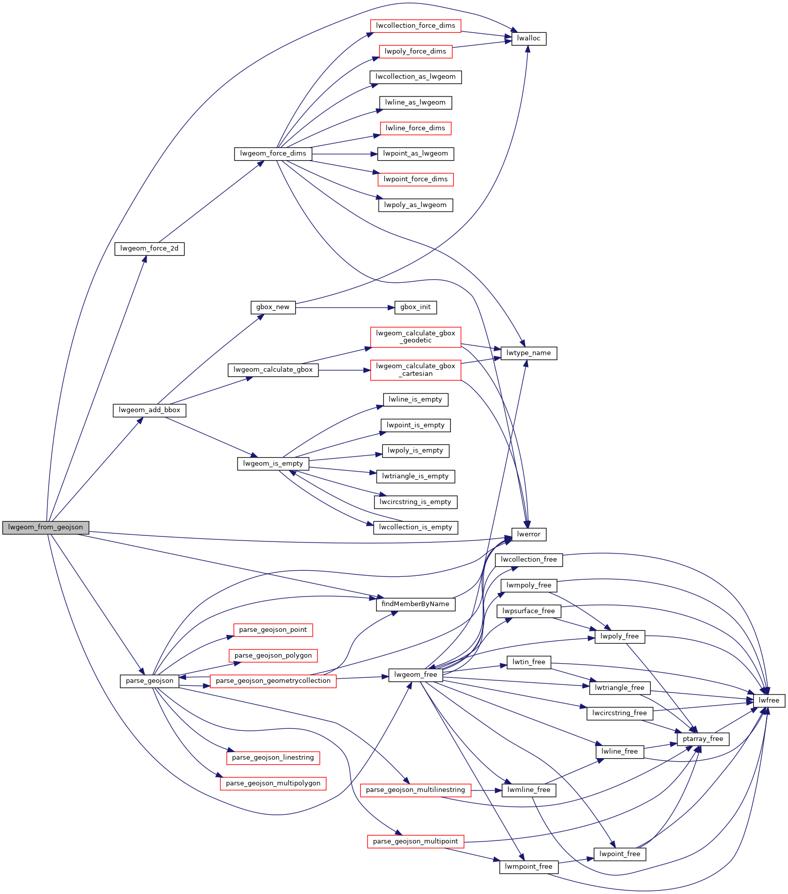
References findMemberByName(), json_tokener_error_desc, LW_FALSE, lwalloc(), lwerror(), lwgeom_add_bbox(), lwgeom_force_2d(), lwgeom_free(), and parse_geojson().

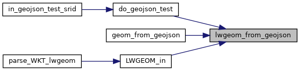
Referenced by do_geojson_test(), geom_from_geojson(), and LWGEOM_in().

Here is the call graph for this function:
Here is the caller graph for this function: