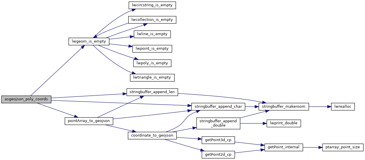
◆ asgeojson_poly_coords()
|
static |
Definition at line 152 of file lwout_geojson.c.
static int lwgeom_is_empty(const LWGEOM *geom)
Return true or false depending on whether a geometry is an "empty" geometry (no vertices members)
Definition: lwinline.h:203
static void pointArray_to_geojson(stringbuffer_t *sb, const POINTARRAY *pa, const geojson_opts *opts)
Definition: lwout_geojson.c:76
static void stringbuffer_append_char(stringbuffer_t *s, char c)
Definition: stringbuffer.h:119
static void stringbuffer_append_len(stringbuffer_t *s, const char *a, size_t alen)
Append the specified string to the stringbuffer_t using known length.
Definition: stringbuffer.h:93
Definition: liblwgeom.h:457
References geojson_tagged, lwgeom_is_empty(), LWPOLY::nrings, ovdump::opts, pointArray_to_geojson(), LWPOLY::rings, stringbuffer_append_char(), and stringbuffer_append_len().
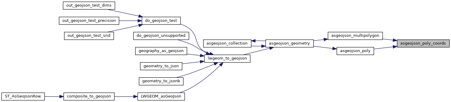
Referenced by asgeojson_multipolygon(), and asgeojson_poly().
Here is the call graph for this function:
Here is the caller graph for this function: