PostGIS  3.4.0dev-r@@SVN_REVISION@@

◆ geography_expand()

Datum geography_expand ( PG_FUNCTION_ARGS  )

Definition at line 454 of file geography_measurement.c.

455 {
456  GSERIALIZED *g = NULL;
457  GSERIALIZED *g_out = NULL;
458  double unit_distance, distance;
459 
460  /* Get a wholly-owned pointer to the geography */
461  g = PG_GETARG_GSERIALIZED_P_COPY(0);
462 
463  /* Read our distance value and normalize to unit-sphere. */
464  distance = PG_GETARG_FLOAT8(1);
465  /* Magic 1% expansion is to bridge difference between potential */
466  /* spheroidal input distance and fact that expanded box filter is */
467  /* calculated on sphere */
468  unit_distance = 1.01 * distance / WGS84_RADIUS;
469 
470  /* Try the expansion */
471  g_out = gserialized_expand(g, unit_distance);
472 
473  /* If the expansion fails, the return our input */
474  if ( g_out == NULL )
475  {
476  PG_RETURN_POINTER(g);
477  }
478 
479  if ( g_out != g )
480  {
481  pfree(g);
482  }
483 
484  PG_RETURN_POINTER(g_out);
485 }
GSERIALIZED * gserialized_expand(GSERIALIZED *g, double distance)
Return a GSERIALIZED with an expanded bounding box.
#define WGS84_RADIUS
Definition: liblwgeom.h:148
static double distance(double x1, double y1, double x2, double y2)
Definition: lwtree.c:1032

References distance(), gserialized_expand(), and WGS84_RADIUS.

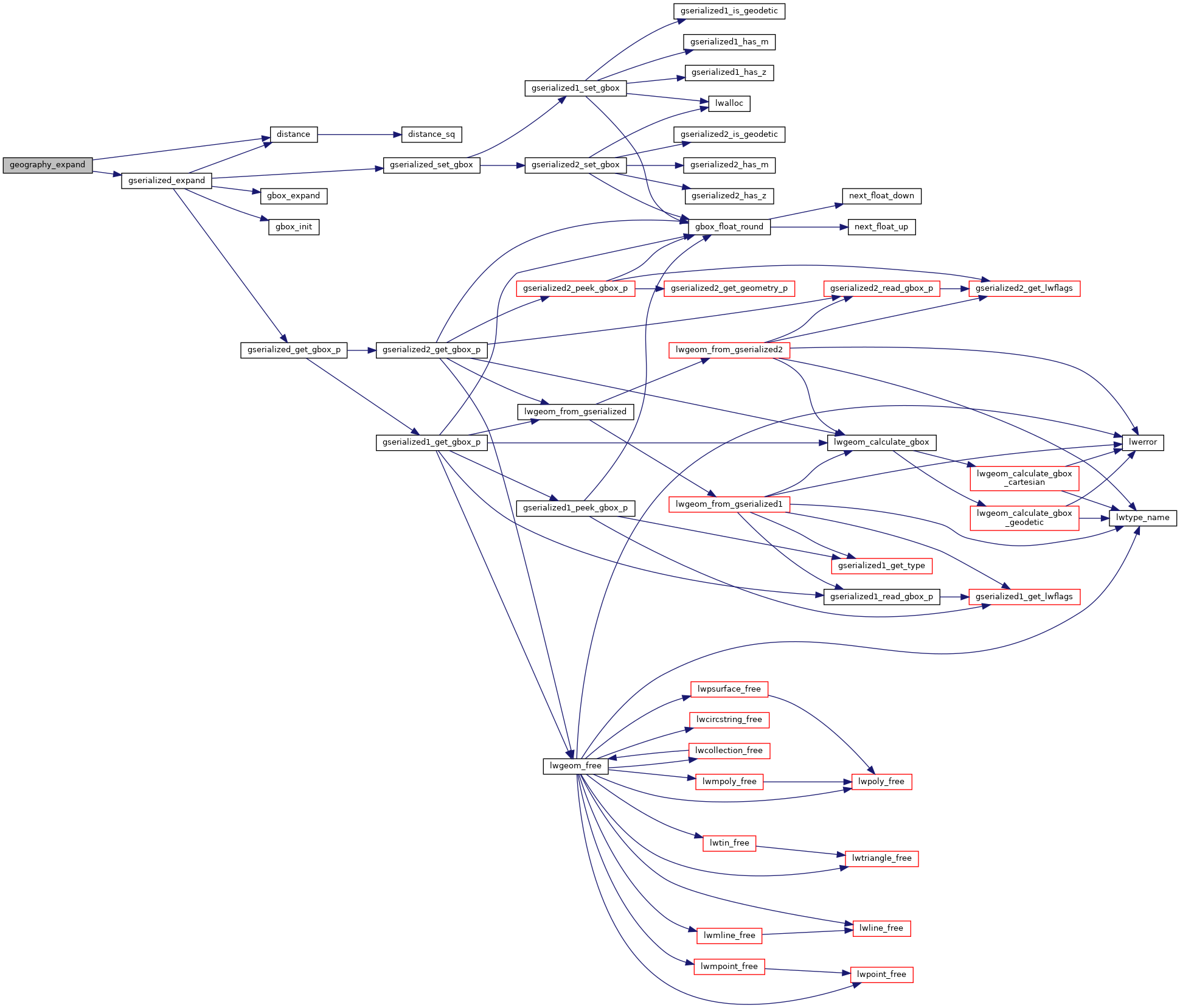
Here is the call graph for this function: