◆ lwline_construct_empty()
| LWLINE* lwline_construct_empty | ( | int32_t | srid, |
| char | hasz, | ||
| char | hasm | ||
| ) |
Definition at line 55 of file lwline.c.
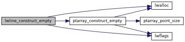
POINTARRAY * ptarray_construct_empty(char hasz, char hasm, uint32_t maxpoints)
Create a new POINTARRAY with no points.
Definition: ptarray.c:59
lwflags_t lwflags(int hasz, int hasm, int geodetic)
Construct a new flags bitmask.
Definition: lwutil.c:471
Definition: liblwgeom.h:481
References LINETYPE, lwalloc(), lwflags(), ptarray_construct_empty(), and result.
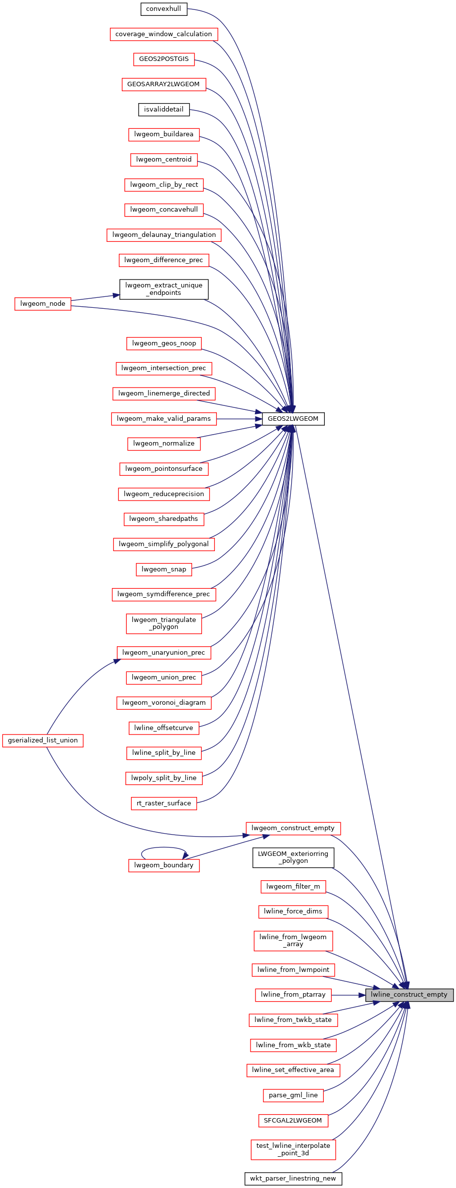
Referenced by GEOS2LWGEOM(), lwgeom_construct_empty(), LWGEOM_exteriorring_polygon(), lwgeom_filter_m(), lwline_force_dims(), lwline_from_lwgeom_array(), lwline_from_lwmpoint(), lwline_from_ptarray(), lwline_from_twkb_state(), lwline_from_wkb_state(), lwline_set_effective_area(), parse_gml_line(), SFCGAL2LWGEOM(), test_lwline_interpolate_point_3d(), and wkt_parser_linestring_new().
Here is the call graph for this function:
Here is the caller graph for this function: