◆ lwgeom_locate_between()
| LWCOLLECTION* lwgeom_locate_between | ( | const LWGEOM * | lwin, |
| double | from, | ||
| double | to, | ||
| double | offset | ||
| ) |
Determine the segments along a measured line that fall within the m-range given.
Return as a multiline or geometrycollection. Offset to left (positive) or right (negative).
Definition at line 923 of file lwlinearreferencing.c.
int lwgeom_has_m(const LWGEOM *geom)
Return LW_TRUE if geometry has M ordinates.
Definition: lwgeom.c:941
LWCOLLECTION * lwgeom_clip_to_ordinate_range(const LWGEOM *lwin, char ordinate, double from, double to, double offset)
Given a geometry clip based on the from/to range of one of its ordinates (x, y, z,...
Definition: lwlinearreferencing.c:835
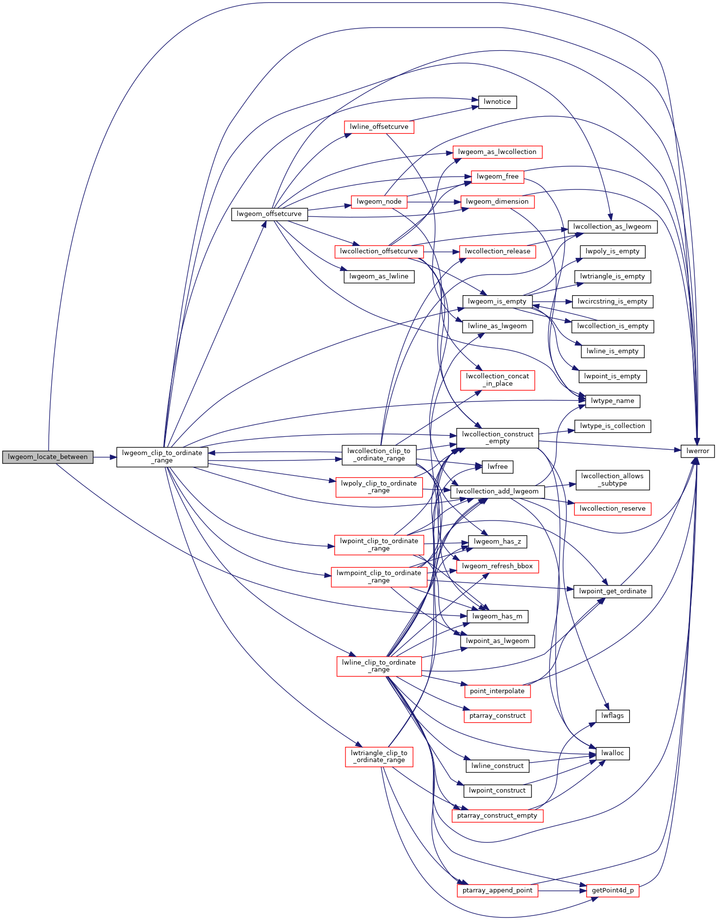
References lwerror(), lwgeom_clip_to_ordinate_range(), and lwgeom_has_m().
Here is the call graph for this function:
