◆ lwpoint_project()
Definition at line 290 of file lwpoint.c.
int lwgeom_has_z(const LWGEOM *geom)
Return LW_TRUE if geometry has Z ordinates.
Definition: lwgeom.c:934
int lwgeom_has_m(const LWGEOM *geom)
Return LW_TRUE if geometry has M ordinates.
Definition: lwgeom.c:941
int project_pt(const POINT2D *P, double distance, double azimuth, POINT2D *R)
Azimuth is angle in radians from vertical axis.
Definition: measures.c:2475
int lwpoint_getPoint4d_p(const LWPOINT *point, POINT4D *out)
Definition: lwpoint.c:57
LWPOINT * lwpoint_make(int32_t srid, int hasz, int hasm, const POINT4D *p)
Definition: lwpoint.c:206
Definition: liblwgeom.h:457
Definition: liblwgeom.h:389
Definition: liblwgeom.h:413
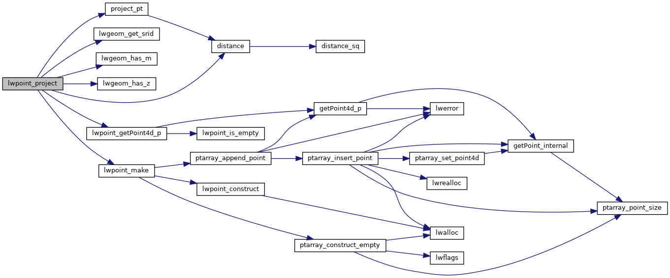
References distance(), lwgeom_get_srid(), lwgeom_has_m(), lwgeom_has_z(), lwpoint_getPoint4d_p(), lwpoint_make(), and project_pt().
Referenced by geometry_project_direction().
Here is the call graph for this function:
Here is the caller graph for this function:
