PostGIS  3.4.0dev-r@@SVN_REVISION@@

◆ lwgeom_geohash()

lwvarlena_t* lwgeom_geohash ( const LWGEOM lwgeom,
int  precision 
)

Calculate the GeoHash (http://geohash.org) string for a geometry.

Caller must free.

Definition at line 860 of file lwalgorithm.c.

861 {
862  GBOX gbox = {0};
863  GBOX gbox_bounds = {0};
864  double lat, lon;
865  int result;
866 
867  gbox_init(&gbox);
868  gbox_init(&gbox_bounds);
869 
870  result = lwgeom_calculate_gbox_cartesian(lwgeom, &gbox);
871  if ( result == LW_FAILURE ) return NULL;
872 
873  /* Return error if we are being fed something outside our working bounds */
874  if ( gbox.xmin < -180 || gbox.ymin < -90 || gbox.xmax > 180 || gbox.ymax > 90 )
875  {
876  lwerror("Geohash requires inputs in decimal degrees, got (%g %g, %g %g).",
877  gbox.xmin, gbox.ymin,
878  gbox.xmax, gbox.ymax);
879  return NULL;
880  }
881 
882  /* What is the center of our geometry bounds? We'll use that to
883  ** approximate location. */
884  lon = gbox.xmin + (gbox.xmax - gbox.xmin) / 2;
885  lat = gbox.ymin + (gbox.ymax - gbox.ymin) / 2;
886 
887  if ( precision <= 0 )
888  {
889  precision = lwgeom_geohash_precision(gbox, &gbox_bounds);
890  }
891 
892  /*
893  ** Return the geohash of the center, with a precision determined by the
894  ** extent of the bounds.
895  ** Possible change: return the point at the center of the precision bounds?
896  */
897  return geohash_point(lon, lat, precision);
898 }
static uint8_t precision
Definition: cu_in_twkb.c:25
char result[OUT_DOUBLE_BUFFER_SIZE]
Definition: cu_print.c:262
int lwgeom_calculate_gbox_cartesian(const LWGEOM *lwgeom, GBOX *gbox)
Calculate the 2-4D bounding box of a geometry.
Definition: gbox.c:740
void gbox_init(GBOX *gbox)
Zero out all the entries in the GBOX.
Definition: gbox.c:40
#define LW_FAILURE
Definition: liblwgeom.h:96
int lwgeom_geohash_precision(GBOX bbox, GBOX *bounds)
Definition: lwalgorithm.c:763
lwvarlena_t * geohash_point(double longitude, double latitude, int precision)
Definition: lwalgorithm.c:595
void lwerror(const char *fmt,...)
Write a notice out to the error handler.
Definition: lwutil.c:190
double ymax
Definition: liblwgeom.h:357
double xmax
Definition: liblwgeom.h:355
double ymin
Definition: liblwgeom.h:356
double xmin
Definition: liblwgeom.h:354

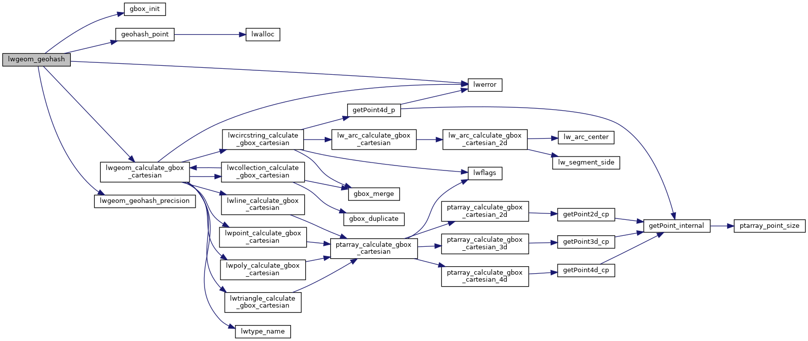
References gbox_init(), geohash_point(), LW_FAILURE, lwerror(), lwgeom_calculate_gbox_cartesian(), lwgeom_geohash_precision(), precision, result, GBOX::xmax, GBOX::xmin, GBOX::ymax, and GBOX::ymin.

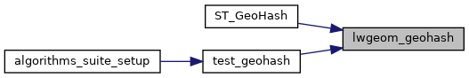
Referenced by ST_GeoHash(), and test_geohash().

Here is the call graph for this function:
Here is the caller graph for this function: