◆ lwpoly_clip_to_ordinate_range()
|
inlinestatic |
Clip an input LWPOLY between two values, on any ordinate input.
Definition at line 727 of file lwlinearreferencing.c.
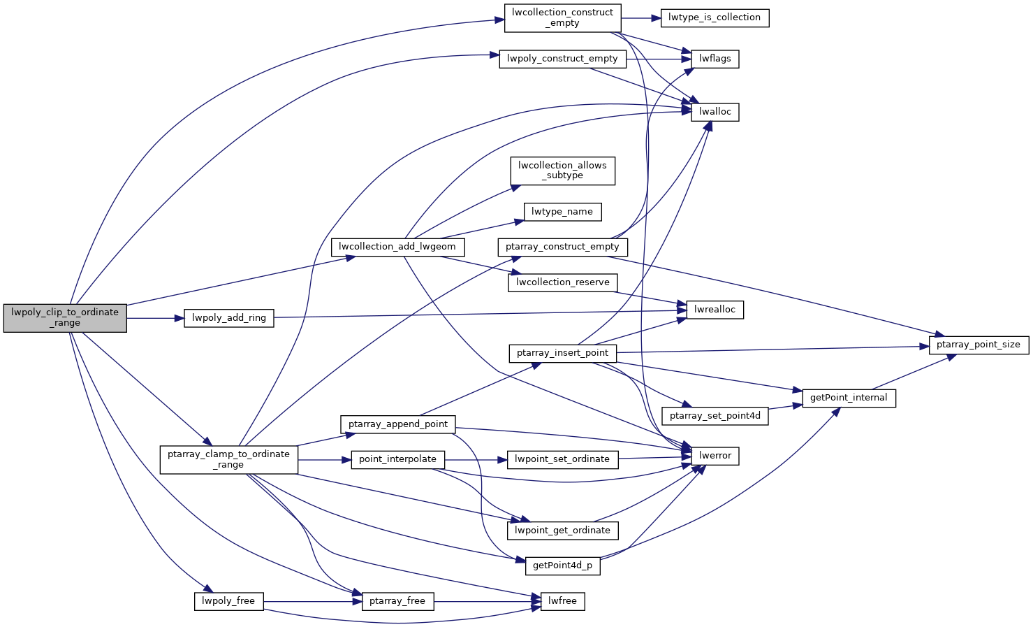
732 LWCOLLECTION *lwgeom_out = lwcollection_construct_empty(MULTIPOLYGONTYPE, poly->srid, hasz, hasm);
int lwpoly_add_ring(LWPOLY *poly, POINTARRAY *pa)
Add a ring, allocating extra space if necessary.
Definition: lwpoly.c:247
LWCOLLECTION * lwcollection_construct_empty(uint8_t type, int32_t srid, char hasz, char hasm)
Definition: lwcollection.c:92
LWCOLLECTION * lwcollection_add_lwgeom(LWCOLLECTION *col, const LWGEOM *geom)
Appends geom to the collection managed by col.
Definition: lwcollection.c:188
LWPOLY * lwpoly_construct_empty(int32_t srid, char hasz, char hasm)
Definition: lwpoly.c:161
static POINTARRAY * ptarray_clamp_to_ordinate_range(const POINTARRAY *ipa, char ordinate, double from, double to, uint8_t is_closed)
Definition: lwlinearreferencing.c:441
Definition: liblwgeom.h:573
Definition: liblwgeom.h:457
Definition: liblwgeom.h:517
Definition: liblwgeom.h:426
References LWPOLY::flags, FLAGS_GET_M, FLAGS_GET_Z, LW_TRUE, lwcollection_add_lwgeom(), lwcollection_construct_empty(), lwpoly_add_ring(), lwpoly_construct_empty(), lwpoly_free(), MULTIPOLYGONTYPE, POINTARRAY::npoints, LWPOLY::nrings, ptarray_clamp_to_ordinate_range(), ptarray_free(), LWPOLY::rings, and LWPOLY::srid.
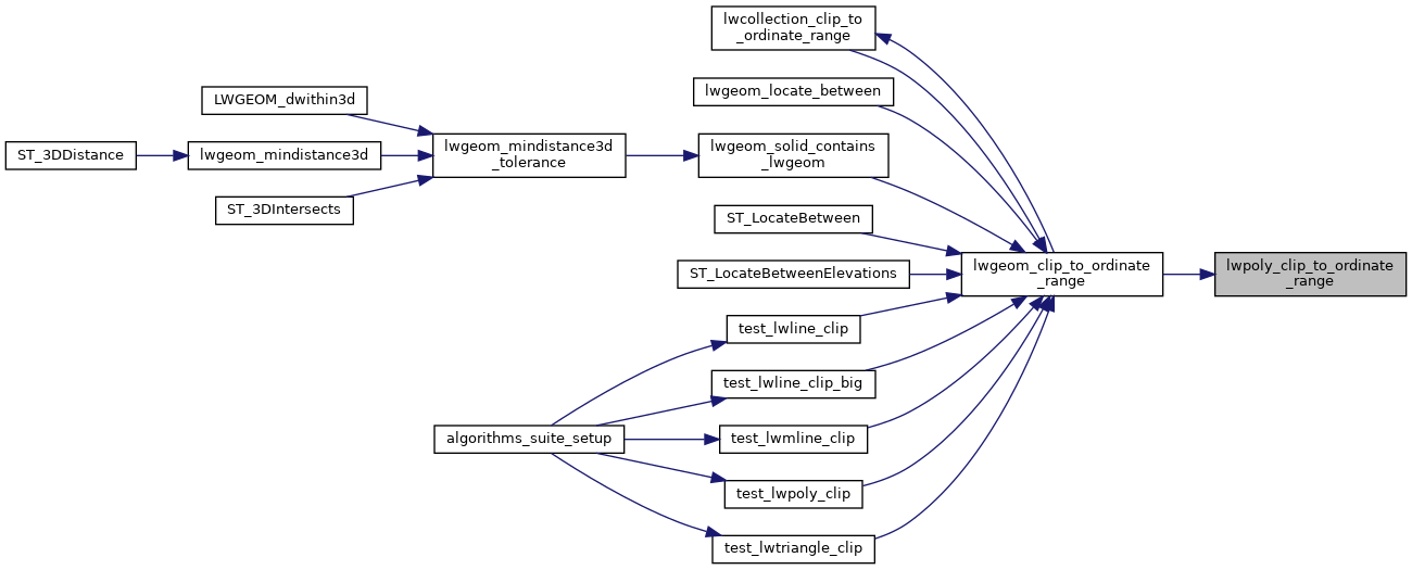
Referenced by lwgeom_clip_to_ordinate_range().
Here is the call graph for this function:
Here is the caller graph for this function: