PostGIS  3.4.0dev-r@@SVN_REVISION@@

◆ gbox_contains_point3d()

int gbox_contains_point3d ( const GBOX gbox,
const POINT3D pt 
)

Return true if the point is inside the gbox.

Definition at line 247 of file gbox.c.

248 {
249  if ( gbox->xmin > pt->x || gbox->ymin > pt->y || gbox->zmin > pt->z ||
250  gbox->xmax < pt->x || gbox->ymax < pt->y || gbox->zmax < pt->z )
251  {
252  return LW_FALSE;
253  }
254  return LW_TRUE;
255 }
#define LW_FALSE
Definition: liblwgeom.h:94
#define LW_TRUE
Return types for functions with status returns.
Definition: liblwgeom.h:93
double ymax
Definition: liblwgeom.h:357
double zmax
Definition: liblwgeom.h:359
double xmax
Definition: liblwgeom.h:355
double zmin
Definition: liblwgeom.h:358
double ymin
Definition: liblwgeom.h:356
double xmin
Definition: liblwgeom.h:354
double z
Definition: liblwgeom.h:402
double x
Definition: liblwgeom.h:402
double y
Definition: liblwgeom.h:402

References LW_FALSE, LW_TRUE, POINT3D::x, GBOX::xmax, GBOX::xmin, POINT3D::y, GBOX::ymax, GBOX::ymin, POINT3D::z, GBOX::zmax, and GBOX::zmin.

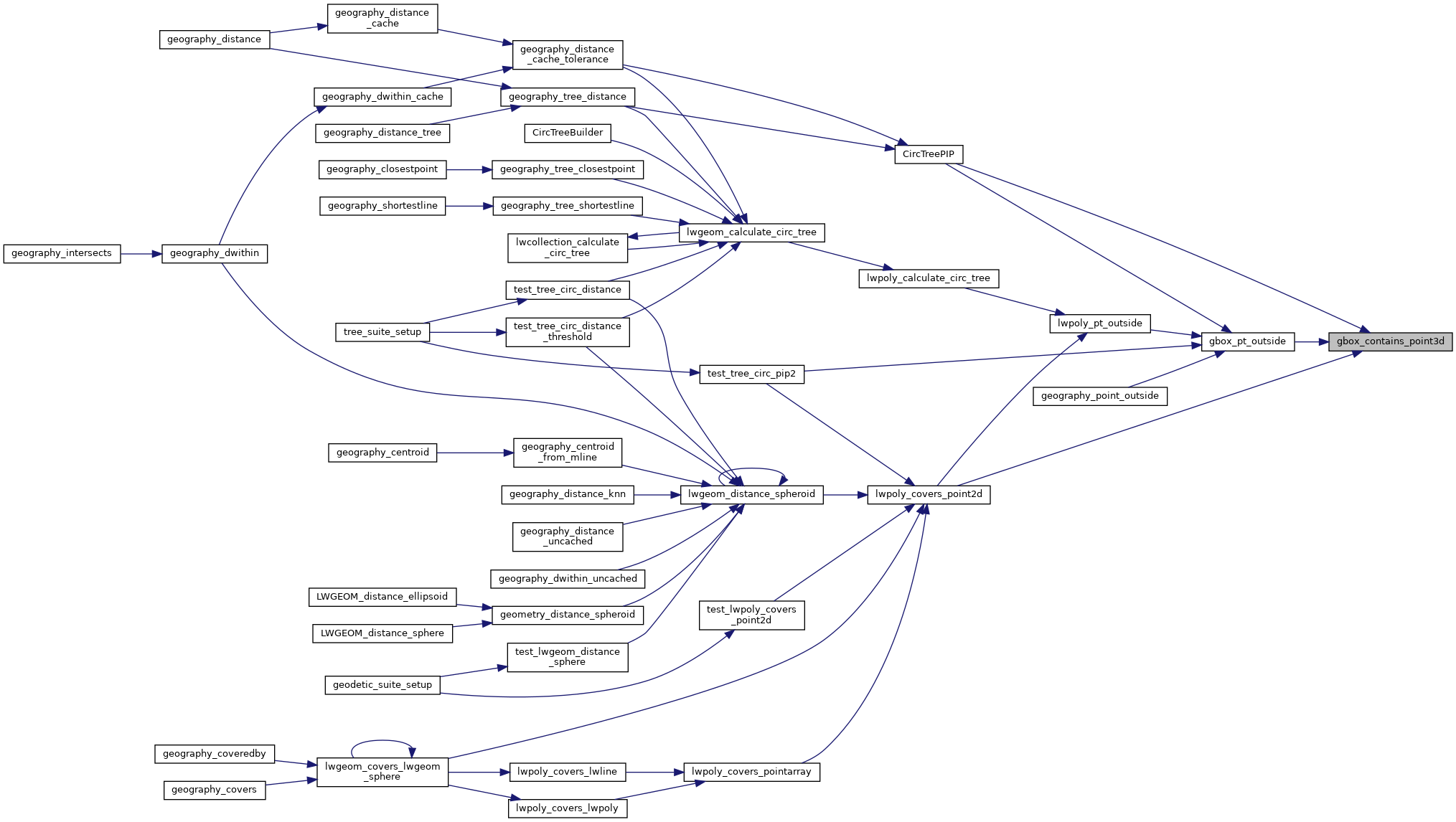
Referenced by CircTreePIP(), gbox_pt_outside(), and lwpoly_covers_point2d().

Here is the caller graph for this function: