◆ LWGEOM_to_latlon()
| Datum LWGEOM_to_latlon | ( | PG_FUNCTION_ARGS | ) |
Definition at line 212 of file lwgeom_inout.c.
LWGEOM * lwgeom_from_gserialized(const GSERIALIZED *g)
Allocate a new LWGEOM from a GSERIALIZED.
Definition: gserialized.c:239
uint32_t gserialized_get_type(const GSERIALIZED *g)
Extract the geometry type from the serialized form (it hides in the anonymous data area,...
Definition: gserialized.c:89
int lwgeom_isfinite(const LWGEOM *lwgeom)
Check if a LWGEOM has any non-finite (NaN or Inf) coordinates.
Definition: lwgeom.c:2681
char * lwpoint_to_latlon(const LWPOINT *p, const char *format)
Definition: lwprint.c:431
const char * lwtype_name(uint8_t type)
Return the type name string associated with a type number (e.g.
Definition: lwutil.c:216
Definition: liblwgeom.h:443
Definition: liblwgeom.h:457
Definition: liblwgeom.h:469
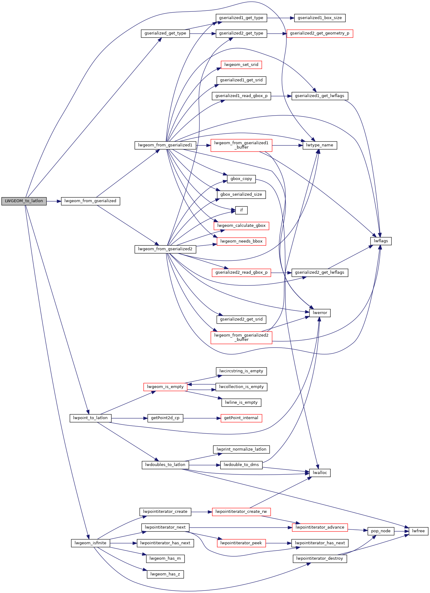
References gserialized_get_type(), lwgeom_from_gserialized(), lwgeom_isfinite(), lwpoint_to_latlon(), lwtype_name(), and POINTTYPE.
Here is the call graph for this function:
