PostGIS  3.4.0dev-r@@SVN_REVISION@@

◆ do_gml3_test_nodims()

static void do_gml3_test_nodims ( char *  in,
char *  out,
char *  srs,
int  precision,
int  is_geodetic,
int  is_dims,
const char *  prefix 
)
static

Definition at line 82 of file cu_out_gml.c.

83 {
84  int opts = 0;
85  if ( is_geodetic ) opts |= LW_GML_IS_DEGREE;
86  if ( is_dims ) opts |= LW_GML_IS_DIMS;
87 
89  lwvarlena_t *v = lwgeom_to_gml3(g, srs, precision, opts, prefix, NULL);
90 
91  ASSERT_VARLENA_EQUAL(v, out);
92 
93  lwgeom_free(g);
94  lwfree(v);
95 }
static uint8_t precision
Definition: cu_in_twkb.c:25
#define ASSERT_VARLENA_EQUAL(v, s)
#define LW_GML_IS_DEGREE
For GML3 only, declare that datas are lat/lon.
Definition: liblwgeom.h:1684
void lwgeom_free(LWGEOM *geom)
Definition: lwgeom.c:1155
#define LW_PARSER_CHECK_NONE
Definition: liblwgeom.h:2114
void lwfree(void *mem)
Definition: lwutil.c:242
#define LW_GML_IS_DIMS
Macros for specifying GML options.
Definition: liblwgeom.h:1682
LWGEOM * lwgeom_from_wkt(const char *wkt, const char check)
Definition: lwin_wkt.c:905
lwvarlena_t * lwgeom_to_gml3(const LWGEOM *geom, const char *srs, int precision, int opts, const char *prefix, const char *id)
Definition: lwout_gml.c:978
opts
Definition: ovdump.py:45

References ASSERT_VARLENA_EQUAL, LW_GML_IS_DEGREE, LW_GML_IS_DIMS, LW_PARSER_CHECK_NONE, lwfree(), lwgeom_free(), lwgeom_from_wkt(), lwgeom_to_gml3(), ovdump::opts, and precision.

Referenced by out_gml_test_geoms_nodims().

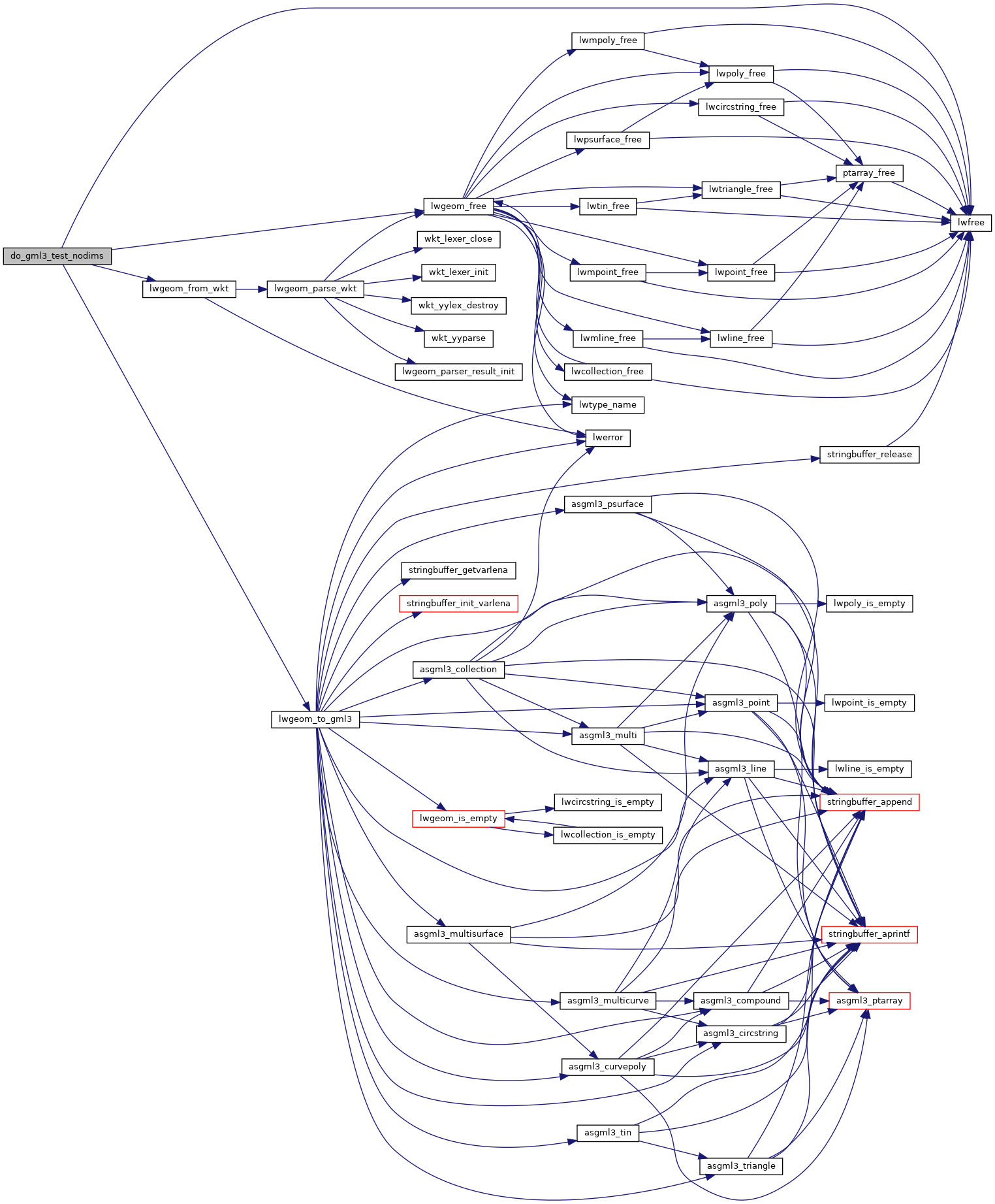
Here is the call graph for this function:
Here is the caller graph for this function: