◆ rt_raster_copy_to_geometry()
| rt_errorstate rt_raster_copy_to_geometry | ( | rt_raster | raster, |
| uint32_t | bandnum, | ||
| char | dim, | ||
| rt_resample_type | resample, | ||
| const LWGEOM * | lwgeom_in, | ||
| LWGEOM ** | lwgeom_out | ||
| ) |
Copy values from a raster to the points on a geometry using the requested interpolation type.
and selected interpolation.
- Parameters
-
raster : the raster to read for values bandnum : the band number to read from dim : the geometry dimension to copy values into 'Z' or 'M' resample : algorithm for reading raster (nearest or bilinear) lwgeom_in : the input geometry lwgeom_out : pointer for the output geometry
- Returns
- ES_ERROR on error, otherwise ES_NONE
Definition at line 1614 of file rt_raster.c.
int lwpointiterator_peek(LWPOINTITERATOR *s, POINT4D *p)
Attempts to assigns the next point in the iterator to p.
Definition: lwiterator.c:193
void lwpointiterator_destroy(LWPOINTITERATOR *s)
Free all memory associated with the iterator.
Definition: lwiterator.c:267
LWGEOM * lwgeom_force_4d(const LWGEOM *geom, double zval, double mval)
Definition: lwgeom.c:811
int lwgeom_has_z(const LWGEOM *geom)
Return LW_TRUE if geometry has Z ordinates.
Definition: lwgeom.c:934
int lwpointiterator_modify_next(LWPOINTITERATOR *s, const POINT4D *p)
Attempts to replace the next point int the iterator with p, and advances the iterator to the next poi...
Definition: lwiterator.c:224
LWPOINTITERATOR * lwpointiterator_create_rw(LWGEOM *g)
Create a new LWPOINTITERATOR over supplied LWGEOM* Supports modification of coordinates during iterat...
Definition: lwiterator.c:251
int lwpointiterator_has_next(LWPOINTITERATOR *s)
Returns LW_TRUE if there is another point available in the iterator.
Definition: lwiterator.c:202
int lwgeom_has_m(const LWGEOM *geom)
Return LW_TRUE if geometry has M ordinates.
Definition: lwgeom.c:941
void rterror(const char *fmt,...)
Wrappers used for reporting errors and info.
Definition: rt_context.c:219
rt_errorstate rt_band_get_pixel_resample(rt_band band, double xr, double yr, rt_resample_type resample, double *r_value, int *r_nodata)
Retrieve a point value from the raster using a world coordinate and selected resampling method.
Definition: rt_band.c:1221
rt_errorstate rt_band_get_nodata(rt_band band, double *nodata)
Get NODATA value.
Definition: rt_band.c:1887
raster
Be careful!! Zeros function's input parameter can be a (height x width) array, not (width x height): ...
Definition: rtrowdump.py:121
rt_errorstate rt_raster_geopoint_to_rasterpoint(rt_raster raster, double xw, double yw, double *xr, double *yr, double *igt)
Convert an xw,yw map point to a xr,yr raster point.
Definition: rt_raster.c:852
rt_band rt_raster_get_band(rt_raster raster, int n)
Return Nth band, or NULL if unavailable.
Definition: rt_raster.c:385
Definition: liblwgeom.h:457
Definition: lwiterator.c:45
Definition: liblwgeom.h:413
Definition: librtcore.h:2466
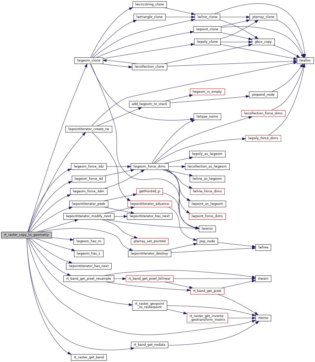
References ovdump::band, ES_ERROR, ES_NONE, lwgeom_clone(), lwgeom_force_3dm(), lwgeom_force_3dz(), lwgeom_force_4d(), lwgeom_has_m(), lwgeom_has_z(), lwpointiterator_create_rw(), lwpointiterator_destroy(), lwpointiterator_has_next(), lwpointiterator_modify_next(), lwpointiterator_peek(), POINT4D::m, NAN, rtrowdump::raster, rt_band_get_nodata(), rt_band_get_pixel_resample(), rt_raster_geopoint_to_rasterpoint(), rt_raster_get_band(), rterror(), genraster::value, POINT4D::x, POINT4D::y, and POINT4D::z.
Referenced by RASTER_getGeometryValues().
Here is the call graph for this function:
Here is the caller graph for this function:
