◆ gserialized1_get_type()
| uint32_t gserialized1_get_type | ( | const GSERIALIZED * | g | ) |
Extract the geometry type from the serialized form (it hides in the anonymous data area, so this is a handy function).
Definition at line 132 of file gserialized1.c.
static size_t gserialized1_box_size(const GSERIALIZED *g)
Definition: gserialized1.c:65
References GSERIALIZED::data, G1FLAGS_GET_BBOX, GSERIALIZED::gflags, and gserialized1_box_size().
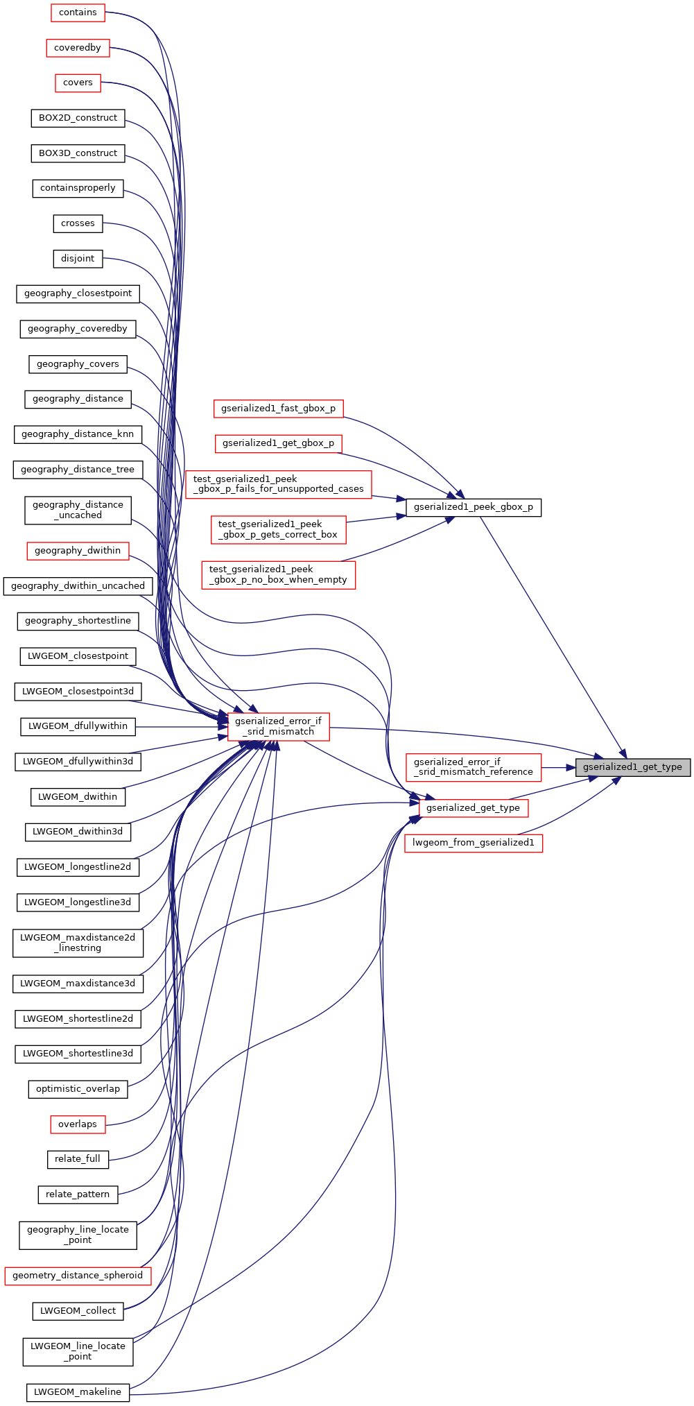
Referenced by gserialized1_peek_gbox_p(), gserialized_error_if_srid_mismatch(), gserialized_error_if_srid_mismatch_reference(), gserialized_get_type(), and lwgeom_from_gserialized1().
Here is the call graph for this function:

Here is the caller graph for this function: