◆ postgis_srs_search()
| Datum postgis_srs_search | ( | PG_FUNCTION_ARGS | ) |
Search for projections given extent and (optional) auth_name returns TABLE(auth_name, auth_srid, srtext, proj4text, point_sw, point_ne)
Definition at line 702 of file postgis/lwgeom_transform.c.
LWGEOM * lwgeom_from_gserialized(const GSERIALIZED *g)
Allocate a new LWGEOM from a GSERIALIZED.
Definition: gserialized.c:239
static Datum srs_tuple_from_entry(const struct srs_entry *entry, TupleDesc tuple_desc)
Definition: postgis/lwgeom_transform.c:329
static void srs_find_planar(const char *auth_name, const LWGEOM *bounds, struct srs_data *state)
Definition: postgis/lwgeom_transform.c:456
Definition: liblwgeom.h:443
Definition: liblwgeom.h:457
Definition: postgis/lwgeom_transform.c:311
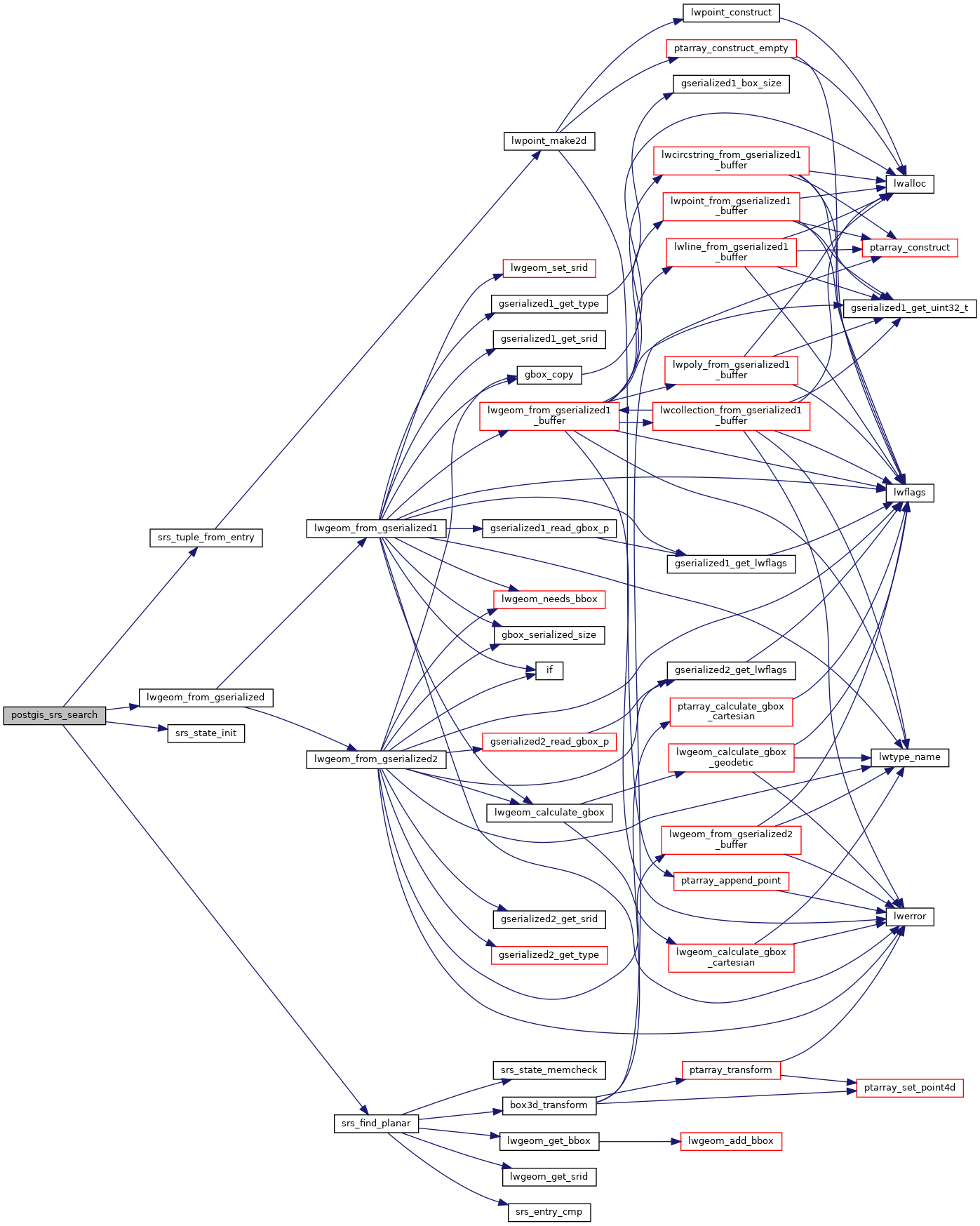
References srs_data::current_entry, srs_data::entries, lwgeom_from_gserialized(), srs_data::num_entries, result, srs_find_planar(), srs_state_init(), and srs_tuple_from_entry().
Here is the call graph for this function:
