◆ ptarray_from_GEOSCoordSeq()
| POINTARRAY* ptarray_from_GEOSCoordSeq | ( | const GEOSCoordSequence * | cs, |
| uint8_t | want3d | ||
| ) |
Definition at line 144 of file liblwgeom/lwgeom_geos.c.
POINTARRAY * ptarray_construct(char hasz, char hasm, uint32_t npoints)
Construct an empty pointarray, allocating storage and setting the npoints, but not filling in any inf...
Definition: ptarray.c:51
void ptarray_set_point4d(POINTARRAY *pa, uint32_t n, const POINT4D *p4d)
Definition: lwgeom_api.c:369
Definition: liblwgeom.h:413
Definition: liblwgeom.h:426
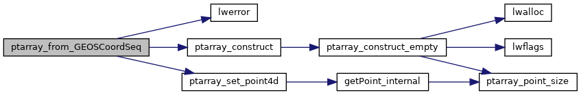
References LWDEBUG, LWDEBUGF, lwerror(), ptarray_construct(), ptarray_set_point4d(), POINTARRAY::serialized_pointlist, POINT4D::x, POINT4D::y, and POINT4D::z.
Referenced by GEOS2LWGEOM(), and lwtin_from_geos().
Here is the call graph for this function:
Here is the caller graph for this function: