PostGIS  3.4.0dev-r@@SVN_REVISION@@

◆ asx3d3_multi_sb()

static int asx3d3_multi_sb ( const LWCOLLECTION col,
int  precision,
int  opts,
const char *  defid,
stringbuffer_t sb 
)
static

Use Polypoint2D instead

Definition at line 282 of file lwout_x3d.c.

283 {
284  char *x3dtype;
285  uint32_t i;
286  int dimension=2;
287 
288  if (FLAGS_GET_Z(col->flags)) dimension = 3;
289  LWGEOM *subgeom;
290  x3dtype="";
291 
292 
293  switch (col->type)
294  {
295  case MULTIPOINTTYPE:
296  x3dtype = "PointSet";
297  if ( dimension == 2 ){
298  x3dtype = "Polypoint2D";
299  stringbuffer_aprintf(sb, "<%s %s point='", x3dtype, defid);
300  }
301  else {
302  stringbuffer_aprintf(sb, "<%s %s>", x3dtype, defid);
303  }
304  break;
305  case MULTILINETYPE:
306  x3dtype = "IndexedLineSet";
307  stringbuffer_aprintf(sb, "<%s %s coordIndex='", x3dtype, defid);
308  asx3d3_mline_coordindex_sb((const LWMLINE *)col, sb);
309  stringbuffer_aprintf(sb, "'>");
310  break;
311  case MULTIPOLYGONTYPE:
312  x3dtype = "IndexedFaceSet";
313  stringbuffer_aprintf(sb, "<%s %s convex='false' coordIndex='", x3dtype, defid);
314  asx3d3_mpoly_coordindex_sb((const LWMPOLY *)col, sb);
315  stringbuffer_aprintf(sb, "'>");
316  break;
317  default:
318  lwerror("asx3d3_multi_buf: '%s' geometry type not supported", lwtype_name(col->type));
319  return 0;
320  }
321  if (dimension == 3){
322  if ( X3D_USE_GEOCOORDS(opts) )
323  stringbuffer_aprintf(sb, "<GeoCoordinate geoSystem='\"GD\" \"WE\" \"%s\"' point='", ((opts & LW_X3D_FLIP_XY) ? "latitude_first" : "longitude_first") );
324  else
325  stringbuffer_aprintf(sb, "<Coordinate point='");
326  }
327 
328  for (i=0; i<col->ngeoms; i++)
329  {
330  subgeom = col->geoms[i];
331  if (subgeom->type == POINTTYPE)
332  {
333  asx3d3_point_sb((LWPOINT *)subgeom, precision, opts, defid, sb);
334  stringbuffer_aprintf(sb, " ");
335  }
336  else if (subgeom->type == LINETYPE)
337  {
338  asx3d3_line_coords_sb((LWLINE*)subgeom, precision, opts, sb);
339  stringbuffer_aprintf(sb, " ");
340  }
341  else if (subgeom->type == POLYGONTYPE)
342  {
343  asx3d3_poly_sb((LWPOLY *)subgeom, precision, opts, 0, defid, sb);
344  stringbuffer_aprintf(sb, " ");
345  }
346  }
347 
348  /* Close outmost tag */
349  if (dimension == 3){
350  stringbuffer_aprintf(sb, "' /></%s>", x3dtype);
351  }
352  else { stringbuffer_aprintf(sb, "' />"); }
353  return LW_SUCCESS;
354 
355 }
static uint8_t precision
Definition: cu_in_twkb.c:25
#define MULTILINETYPE
Definition: liblwgeom.h:106
#define LINETYPE
Definition: liblwgeom.h:103
#define LW_SUCCESS
Definition: liblwgeom.h:97
#define MULTIPOINTTYPE
Definition: liblwgeom.h:105
#define LW_X3D_FLIP_XY
Macros for specifying X3D options.
Definition: liblwgeom.h:1700
#define POINTTYPE
LWTYPE numbers, used internally by PostGIS.
Definition: liblwgeom.h:102
#define FLAGS_GET_Z(flags)
Definition: liblwgeom.h:165
#define MULTIPOLYGONTYPE
Definition: liblwgeom.h:107
#define POLYGONTYPE
Definition: liblwgeom.h:104
const char * lwtype_name(uint8_t type)
Return the type name string associated with a type number (e.g.
Definition: lwutil.c:216
#define X3D_USE_GEOCOORDS(x)
Definition: liblwgeom.h:1702
void lwerror(const char *fmt,...)
Write a notice out to the error handler.
Definition: lwutil.c:190
static int asx3d3_point_sb(const LWPOINT *point, int precision, int opts, __attribute__((__unused__)) const char *defid, stringbuffer_t *sb)
Definition: lwout_x3d.c:113
static int asx3d3_poly_sb(const LWPOLY *poly, int precision, int opts, __attribute__((__unused__)) int is_patch, __attribute__((__unused__)) const char *defid, stringbuffer_t *sb)
Compute the X3D coordinates of the polygon and add to string buffer.
Definition: lwout_x3d.c:251
static int asx3d3_mpoly_coordindex_sb(const LWMPOLY *psur, stringbuffer_t *sb)
Definition: lwout_x3d.c:177
static int asx3d3_line_coords_sb(const LWLINE *line, int precision, int opts, stringbuffer_t *sb)
Definition: lwout_x3d.c:124
static int asx3d3_mline_coordindex_sb(const LWMLINE *mgeom, stringbuffer_t *sb)
Definition: lwout_x3d.c:132
opts
Definition: ovdump.py:45
int stringbuffer_aprintf(stringbuffer_t *s, const char *fmt,...)
Appends a formatted string to the current string buffer, using the format and argument list provided.
Definition: stringbuffer.c:247
lwflags_t flags
Definition: liblwgeom.h:577
uint32_t ngeoms
Definition: liblwgeom.h:580
uint8_t type
Definition: liblwgeom.h:578
LWGEOM ** geoms
Definition: liblwgeom.h:575
uint8_t type
Definition: liblwgeom.h:462

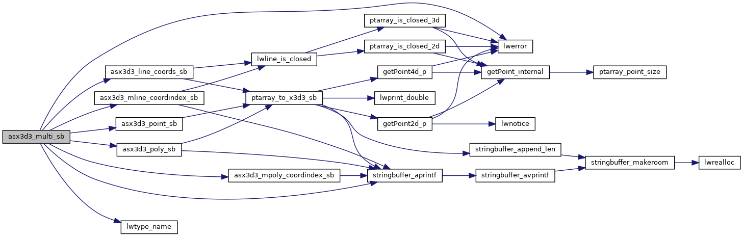
References asx3d3_line_coords_sb(), asx3d3_mline_coordindex_sb(), asx3d3_mpoly_coordindex_sb(), asx3d3_point_sb(), asx3d3_poly_sb(), LWCOLLECTION::flags, FLAGS_GET_Z, LWCOLLECTION::geoms, LINETYPE, LW_SUCCESS, LW_X3D_FLIP_XY, lwerror(), lwtype_name(), MULTILINETYPE, MULTIPOINTTYPE, MULTIPOLYGONTYPE, LWCOLLECTION::ngeoms, ovdump::opts, POINTTYPE, POLYGONTYPE, precision, stringbuffer_aprintf(), LWGEOM::type, LWMLINE::type, LWCOLLECTION::type, and X3D_USE_GEOCOORDS.

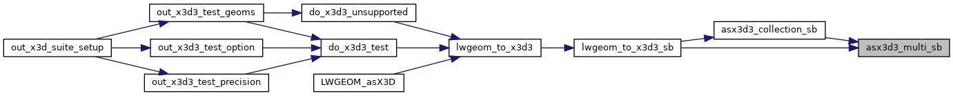
Referenced by asx3d3_collection_sb(), and lwgeom_to_x3d3_sb().

Here is the call graph for this function:
Here is the caller graph for this function: