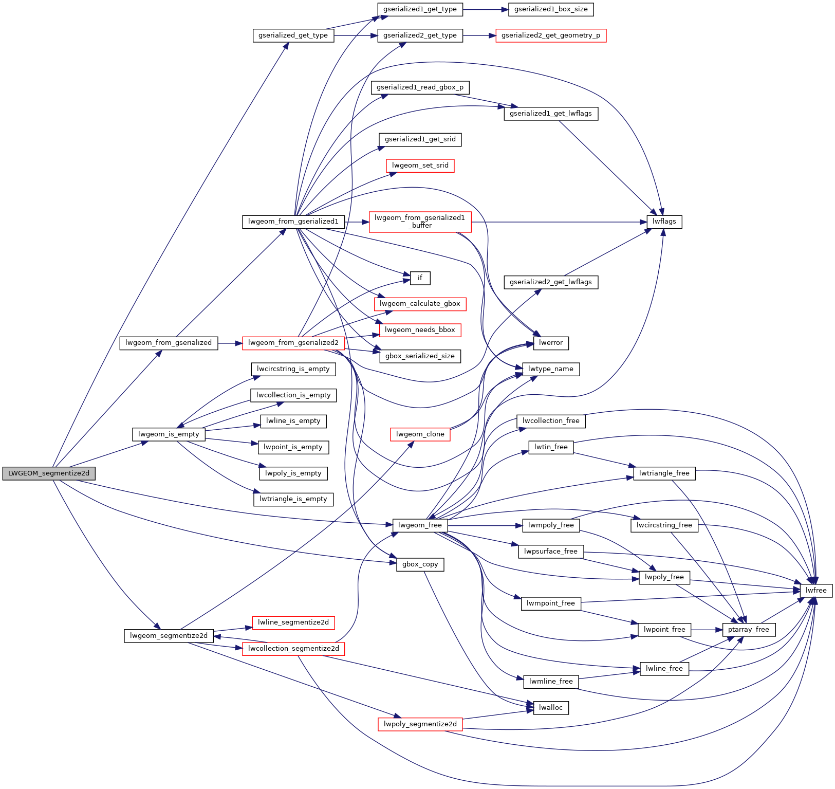
◆ LWGEOM_segmentize2d()
| Datum LWGEOM_segmentize2d | ( | PG_FUNCTION_ARGS | ) |
Definition at line 1871 of file lwgeom_functions_basic.c.
1885 if ((type == POINTTYPE) || (type == MULTIPOINTTYPE) || (type == TRIANGLETYPE) || (type == TINTYPE) ||
1923 // lwgeom_free(outlwgeom); /* TODO fix lwgeom_clone / ptarray_clone_deep for consistent semantics */
GBOX * gbox_copy(const GBOX *box)
Return a copy of the GBOX, based on dimensionality of flags.
Definition: gbox.c:426
LWGEOM * lwgeom_from_gserialized(const GSERIALIZED *g)
Allocate a new LWGEOM from a GSERIALIZED.
Definition: gserialized.c:239
uint32_t gserialized_get_type(const GSERIALIZED *g)
Extract the geometry type from the serialized form (it hides in the anonymous data area,...
Definition: gserialized.c:89
LWGEOM * lwgeom_segmentize2d(const LWGEOM *line, double dist)
Definition: lwgeom.c:771
static int lwgeom_is_empty(const LWGEOM *geom)
Return true or false depending on whether a geometry is an "empty" geometry (no vertices members)
Definition: lwinline.h:203
Definition: liblwgeom.h:443
Definition: liblwgeom.h:457
References LWGEOM::bbox, gbox_copy(), gserialized_get_type(), lwgeom_free(), lwgeom_from_gserialized(), lwgeom_is_empty(), lwgeom_segmentize2d(), MULTIPOINTTYPE, POINTTYPE, POLYHEDRALSURFACETYPE, TINTYPE, TRIANGLETYPE, and ovdump::type.
Here is the call graph for this function:
