PostGIS  3.4.0dev-r@@SVN_REVISION@@

◆ lwcollection_from_gserialized2_buffer()

static LWCOLLECTION* lwcollection_from_gserialized2_buffer ( uint8_t *  data_ptr,
lwflags_t  lwflags,
size_t *  size,
int32_t  srid 
)
static

Definition at line 1398 of file gserialized2.c.

1399 {
1400  uint32_t type;
1401  uint8_t *start_ptr = data_ptr;
1402  LWCOLLECTION *collection;
1403  uint32_t ngeoms = 0;
1404  uint32_t i = 0;
1405 
1406  assert(data_ptr);
1407 
1408  type = gserialized2_get_uint32_t(data_ptr);
1409  data_ptr += 4; /* Skip past the type. */
1410 
1411  collection = (LWCOLLECTION*)lwalloc(sizeof(LWCOLLECTION));
1412  collection->srid = srid;
1413  collection->bbox = NULL;
1414  collection->type = type;
1415  collection->flags = lwflags;
1416 
1417  ngeoms = gserialized2_get_uint32_t(data_ptr);
1418  collection->ngeoms = ngeoms; /* Zero => empty geometry */
1419  data_ptr += 4; /* Skip past the ngeoms. */
1420 
1421  if (ngeoms > 0)
1422  {
1423  collection->geoms = lwalloc(sizeof(LWGEOM*) * ngeoms);
1424  collection->maxgeoms = ngeoms;
1425  }
1426  else
1427  {
1428  collection->geoms = NULL;
1429  collection->maxgeoms = 0;
1430  }
1431 
1432  /* Sub-geometries are never de-serialized with boxes (#1254) */
1433  FLAGS_SET_BBOX(lwflags, 0);
1434 
1435  for (i = 0; i < ngeoms; i++)
1436  {
1437  uint32_t subtype = gserialized2_get_uint32_t(data_ptr);
1438  size_t subsize = 0;
1439 
1440  if (!lwcollection_allows_subtype(type, subtype))
1441  {
1442  lwerror("Invalid subtype (%s) for collection type (%s)", lwtype_name(subtype), lwtype_name(type));
1443  lwfree(collection);
1444  return NULL;
1445  }
1446  collection->geoms[i] = lwgeom_from_gserialized2_buffer(data_ptr, lwflags, &subsize, srid);
1447  data_ptr += subsize;
1448  }
1449 
1450  if (size)
1451  *size = data_ptr - start_ptr;
1452 
1453  return collection;
1454 }
static uint32_t gserialized2_get_uint32_t(const uint8_t *loc)
Definition: gserialized2.c:131
static LWGEOM * lwgeom_from_gserialized2_buffer(uint8_t *data_ptr, lwflags_t lwflags, size_t *size, int32_t srid)
#define FLAGS_SET_BBOX(flags, value)
Definition: liblwgeom.h:174
void lwfree(void *mem)
Definition: lwutil.c:242
const char * lwtype_name(uint8_t type)
Return the type name string associated with a type number (e.g.
Definition: lwutil.c:216
void * lwalloc(size_t size)
Definition: lwutil.c:227
lwflags_t lwflags(int hasz, int hasm, int geodetic)
Construct a new flags bitmask.
Definition: lwutil.c:471
int lwcollection_allows_subtype(int collectiontype, int subtype)
Check if subtype is allowed in collectiontype.
Definition: lwcollection.c:513
void lwerror(const char *fmt,...)
Write a notice out to the error handler.
Definition: lwutil.c:190
type
Definition: ovdump.py:42
lwflags_t flags
Definition: liblwgeom.h:577
uint32_t ngeoms
Definition: liblwgeom.h:580
uint32_t maxgeoms
Definition: liblwgeom.h:581
uint8_t type
Definition: liblwgeom.h:578
GBOX * bbox
Definition: liblwgeom.h:574
LWGEOM ** geoms
Definition: liblwgeom.h:575
int32_t srid
Definition: liblwgeom.h:576

References LWCOLLECTION::bbox, LWCOLLECTION::flags, FLAGS_SET_BBOX, LWCOLLECTION::geoms, gserialized2_get_uint32_t(), lwalloc(), lwcollection_allows_subtype(), lwerror(), lwflags(), lwfree(), lwgeom_from_gserialized2_buffer(), lwtype_name(), LWCOLLECTION::maxgeoms, LWCOLLECTION::ngeoms, LWCOLLECTION::srid, LWCOLLECTION::type, and ovdump::type.

Referenced by lwgeom_from_gserialized2_buffer().

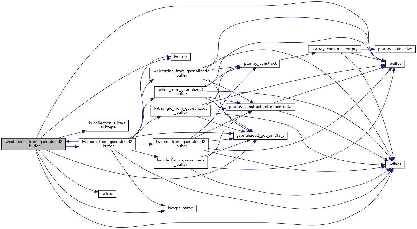
Here is the call graph for this function:
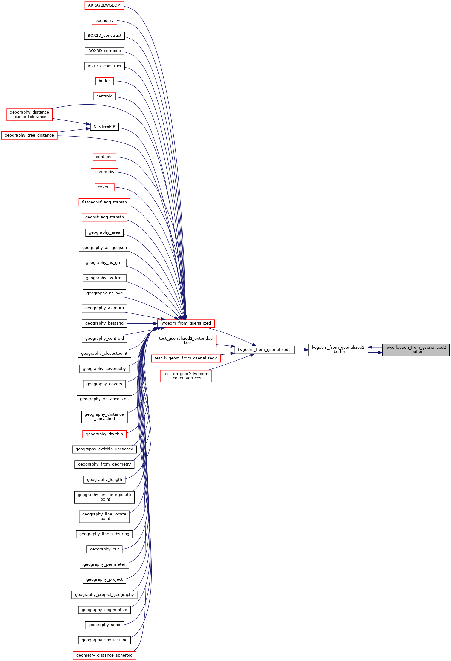
Here is the caller graph for this function: