PostGIS  3.4.0dev-r@@SVN_REVISION@@

◆ edge_intersection()

int edge_intersection ( const GEOGRAPHIC_EDGE e1,
const GEOGRAPHIC_EDGE e2,
GEOGRAPHIC_POINT g 
)

Returns true if an intersection can be calculated, and places it in *g.

Returns false otherwise.

Definition at line 1131 of file lwgeodetic.c.

1132 {
1133  POINT3D ea, eb, v;
1134  LWDEBUGF(4, "e1 start(%.20g %.20g) end(%.20g %.20g)", e1->start.lat, e1->start.lon, e1->end.lat, e1->end.lon);
1135  LWDEBUGF(4, "e2 start(%.20g %.20g) end(%.20g %.20g)", e2->start.lat, e2->start.lon, e2->end.lat, e2->end.lon);
1136 
1137  LWDEBUGF(4, "e1 start(%.20g %.20g) end(%.20g %.20g)", rad2deg(e1->start.lon), rad2deg(e1->start.lat), rad2deg(e1->end.lon), rad2deg(e1->end.lat));
1138  LWDEBUGF(4, "e2 start(%.20g %.20g) end(%.20g %.20g)", rad2deg(e2->start.lon), rad2deg(e2->start.lat), rad2deg(e2->end.lon), rad2deg(e2->end.lat));
1139 
1140  if ( geographic_point_equals(&(e1->start), &(e2->start)) )
1141  {
1142  *g = e1->start;
1143  return LW_TRUE;
1144  }
1145  if ( geographic_point_equals(&(e1->end), &(e2->end)) )
1146  {
1147  *g = e1->end;
1148  return LW_TRUE;
1149  }
1150  if ( geographic_point_equals(&(e1->end), &(e2->start)) )
1151  {
1152  *g = e1->end;
1153  return LW_TRUE;
1154  }
1155  if ( geographic_point_equals(&(e1->start), &(e2->end)) )
1156  {
1157  *g = e1->start;
1158  return LW_TRUE;
1159  }
1160 
1161  robust_cross_product(&(e1->start), &(e1->end), &ea);
1162  normalize(&ea);
1163  robust_cross_product(&(e2->start), &(e2->end), &eb);
1164  normalize(&eb);
1165  LWDEBUGF(4, "e1 cross product == POINT(%.12g %.12g %.12g)", ea.x, ea.y, ea.z);
1166  LWDEBUGF(4, "e2 cross product == POINT(%.12g %.12g %.12g)", eb.x, eb.y, eb.z);
1167  LWDEBUGF(4, "fabs(dot_product(ea, eb)) == %.14g", fabs(dot_product(&ea, &eb)));
1168  if ( FP_EQUALS(fabs(dot_product(&ea, &eb)), 1.0) )
1169  {
1170  LWDEBUGF(4, "parallel edges found! dot_product = %.12g", dot_product(&ea, &eb));
1171  /* Parallel (maybe equal) edges! */
1172  /* Hack alert, only returning ONE end of the edge right now, most do better later. */
1173  /* Hack alert #2, returning a value of 2 to indicate a co-linear crossing event. */
1174  if ( edge_contains_point(e1, &(e2->start)) )
1175  {
1176  *g = e2->start;
1177  return 2;
1178  }
1179  if ( edge_contains_point(e1, &(e2->end)) )
1180  {
1181  *g = e2->end;
1182  return 2;
1183  }
1184  if ( edge_contains_point(e2, &(e1->start)) )
1185  {
1186  *g = e1->start;
1187  return 2;
1188  }
1189  if ( edge_contains_point(e2, &(e1->end)) )
1190  {
1191  *g = e1->end;
1192  return 2;
1193  }
1194  }
1195  unit_normal(&ea, &eb, &v);
1196  LWDEBUGF(4, "v == POINT(%.12g %.12g %.12g)", v.x, v.y, v.z);
1197  g->lat = atan2(v.z, sqrt(v.x * v.x + v.y * v.y));
1198  g->lon = atan2(v.y, v.x);
1199  LWDEBUGF(4, "g == GPOINT(%.12g %.12g)", g->lat, g->lon);
1200  LWDEBUGF(4, "g == POINT(%.12g %.12g)", rad2deg(g->lon), rad2deg(g->lat));
1201  if ( edge_contains_point(e1, g) && edge_contains_point(e2, g) )
1202  {
1203  return LW_TRUE;
1204  }
1205  else
1206  {
1207  LWDEBUG(4, "flipping point to other side of sphere");
1208  g->lat = -1.0 * g->lat;
1209  g->lon = g->lon + M_PI;
1210  if ( g->lon > M_PI )
1211  {
1212  g->lon = -1.0 * (2.0 * M_PI - g->lon);
1213  }
1214  if ( edge_contains_point(e1, g) && edge_contains_point(e2, g) )
1215  {
1216  return LW_TRUE;
1217  }
1218  }
1219  return LW_FALSE;
1220 }
#define LW_FALSE
Definition: liblwgeom.h:94
#define LW_TRUE
Return types for functions with status returns.
Definition: liblwgeom.h:93
#define FP_EQUALS(A, B)
void normalize(POINT3D *p)
Normalize to a unit vector.
Definition: lwgeodetic.c:615
void robust_cross_product(const GEOGRAPHIC_POINT *p, const GEOGRAPHIC_POINT *q, POINT3D *a)
Computes the cross product of two vectors using their lat, lng representations.
Definition: lwgeodetic.c:634
void unit_normal(const POINT3D *P1, const POINT3D *P2, POINT3D *normal)
Calculates the unit normal to two vectors, trying to avoid problems with over-narrow or over-wide cas...
Definition: lwgeodetic.c:541
static double dot_product(const POINT3D *p1, const POINT3D *p2)
Convert cartesian coordinates on unit sphere to lon/lat coordinates static void cart2ll(const POINT3D...
Definition: lwgeodetic.c:446
int edge_contains_point(const GEOGRAPHIC_EDGE *e, const GEOGRAPHIC_POINT *p)
Returns true if the point p is on the minor edge defined by the end points of e.
Definition: lwgeodetic.c:1038
int geographic_point_equals(const GEOGRAPHIC_POINT *g1, const GEOGRAPHIC_POINT *g2)
Definition: lwgeodetic.c:170
#define rad2deg(r)
Definition: lwgeodetic.h:81
#define LWDEBUG(level, msg)
Definition: lwgeom_log.h:83
#define LWDEBUGF(level, msg,...)
Definition: lwgeom_log.h:88
GEOGRAPHIC_POINT start
Definition: lwgeodetic.h:64
GEOGRAPHIC_POINT end
Definition: lwgeodetic.h:65
double z
Definition: liblwgeom.h:402
double x
Definition: liblwgeom.h:402
double y
Definition: liblwgeom.h:402

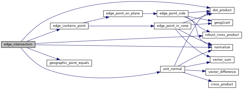
References dot_product(), edge_contains_point(), GEOGRAPHIC_EDGE::end, FP_EQUALS, geographic_point_equals(), GEOGRAPHIC_POINT::lat, GEOGRAPHIC_POINT::lon, LW_FALSE, LW_TRUE, LWDEBUG, LWDEBUGF, normalize(), rad2deg, robust_cross_product(), GEOGRAPHIC_EDGE::start, unit_normal(), POINT3D::x, POINT3D::y, and POINT3D::z.

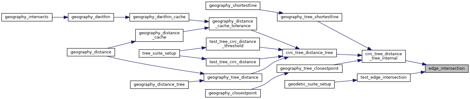
Referenced by circ_tree_distance_tree_internal(), and test_edge_intersection().

Here is the call graph for this function:
Here is the caller graph for this function: