◆ lwpoly_pt_outside_hack()
Definition at line 1493 of file lwgeodetic.c.
int getPoint4d_p(const POINTARRAY *pa, uint32_t n, POINT4D *point)
Definition: lwgeom_api.c:125
void vector_scale(POINT3D *n, double scale)
Scale a vector out by a factor.
Definition: lwgeodetic.c:487
void cart2geog(const POINT3D *p, GEOGRAPHIC_POINT *g)
Convert cartesian coordinates on unit sphere to spherical coordinates.
Definition: lwgeodetic.c:414
void geographic_point_init(double lon, double lat, GEOGRAPHIC_POINT *g)
Initialize a geographic point.
Definition: lwgeodetic.c:180
static void cross_product(const POINT3D *a, const POINT3D *b, POINT3D *n)
Calculate the cross product of two vectors.
Definition: lwgeodetic.c:454
void vector_sum(const POINT3D *a, const POINT3D *b, POINT3D *n)
Calculate the sum of two vectors.
Definition: lwgeodetic.c:465
void geog2cart(const GEOGRAPHIC_POINT *g, POINT3D *p)
Convert spherical coordinates to cartesian coordinates on unit sphere.
Definition: lwgeodetic.c:404
static int lwgeom_is_empty(const LWGEOM *geom)
Return true or false depending on whether a geometry is an "empty" geometry (no vertices members)
Definition: lwinline.h:203
Definition: liblwgeom.h:457
Definition: liblwgeom.h:401
Definition: liblwgeom.h:413
Definition: liblwgeom.h:426
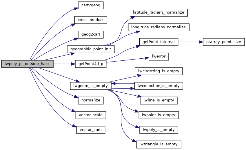
References cart2geog(), cross_product(), geog2cart(), geographic_point_init(), getPoint4d_p(), GEOGRAPHIC_POINT::lat, GEOGRAPHIC_POINT::lon, LW_FAILURE, LW_SUCCESS, lwgeom_is_empty(), normalize(), POINTARRAY::npoints, LWPOLY::nrings, rad2deg, LWPOLY::rings, vector_scale(), vector_sum(), POINT2D::x, POINT4D::x, POINT2D::y, and POINT4D::y.
Referenced by lwpoly_pt_outside().
Here is the call graph for this function:
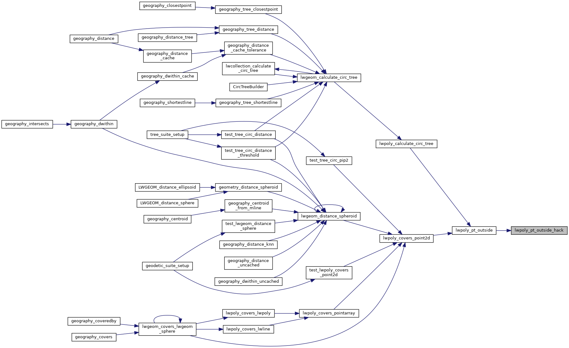
Here is the caller graph for this function: