◆ lwgeom_project_spheroid_lwpoint()
| LWPOINT* lwgeom_project_spheroid_lwpoint | ( | const LWPOINT * | from, |
| const LWPOINT * | to, | ||
| const SPHEROID * | spheroid, | ||
| double | distance | ||
| ) |
Calculate the location of a point on a spheroid, give a start point, end point and distance.
Definition at line 2154 of file lwgeodetic.c.
LWPOINT * lwgeom_project_spheroid(const LWPOINT *r, const SPHEROID *spheroid, double distance, double azimuth)
Calculate a projected point given a source point, a distance and a bearing.
Definition: lwgeodetic.c:2105
double lwgeom_azumith_spheroid(const LWPOINT *r, const LWPOINT *s, const SPHEROID *spheroid)
Calculate a bearing (azimuth) given a source and destination point.
Definition: lwgeodetic.c:2170
Definition: liblwgeom.h:469
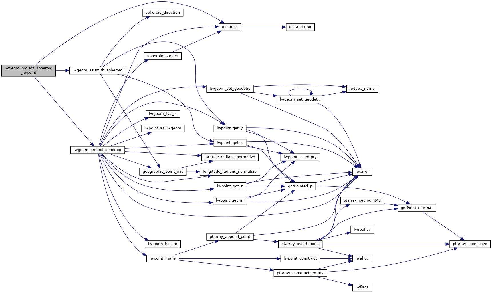
References distance(), lwgeom_azumith_spheroid(), and lwgeom_project_spheroid().
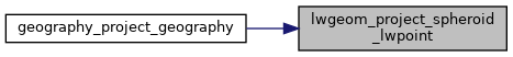
Referenced by geography_project_geography().
Here is the call graph for this function:
Here is the caller graph for this function: