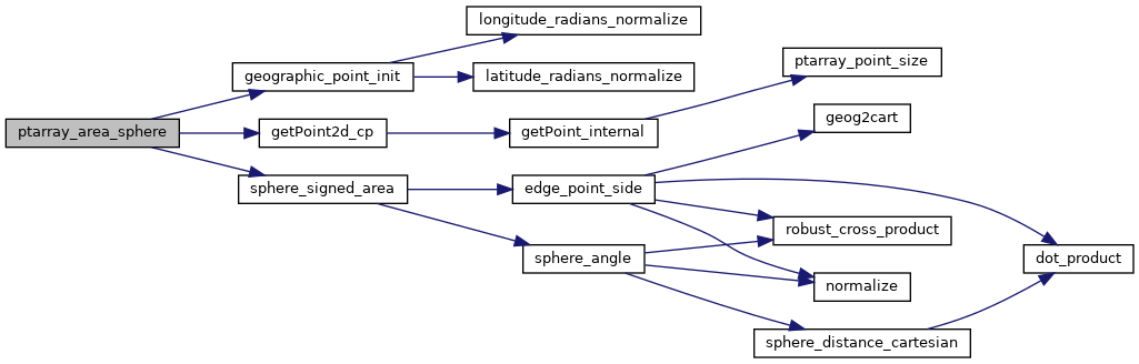
◆ ptarray_area_sphere()
| double ptarray_area_sphere | ( | const POINTARRAY * | pa | ) |
Returns the area of the ring (ring must be closed) in square radians (surface of the sphere is 4*PI).
Definition at line 1813 of file lwgeodetic.c.
void geographic_point_init(double lon, double lat, GEOGRAPHIC_POINT *g)
Initialize a geographic point.
Definition: lwgeodetic.c:180
static double sphere_signed_area(const GEOGRAPHIC_POINT *a, const GEOGRAPHIC_POINT *b, const GEOGRAPHIC_POINT *c)
Computes the spherical area of a triangle.
Definition: lwgeodetic.c:741
static const POINT2D * getPoint2d_cp(const POINTARRAY *pa, uint32_t n)
Returns a POINT2D pointer into the POINTARRAY serialized_ptlist, suitable for reading from.
Definition: lwinline.h:101
Definition: liblwgeom.h:389
References geographic_point_init(), getPoint2d_cp(), POINTARRAY::npoints, sphere_signed_area(), POINT2D::x, and POINT2D::y.
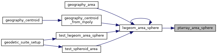
Referenced by lwgeom_area_sphere().
Here is the call graph for this function:
Here is the caller graph for this function: